File:2014-02-02 34 -118 10-43-55-556.jpg
From Geohashing
No higher resolution available.
2014-02-02_34_-118_10-43-55-556.jpg (800 × 450 pixels, file size: 72 KB, MIME type: image/jpeg)
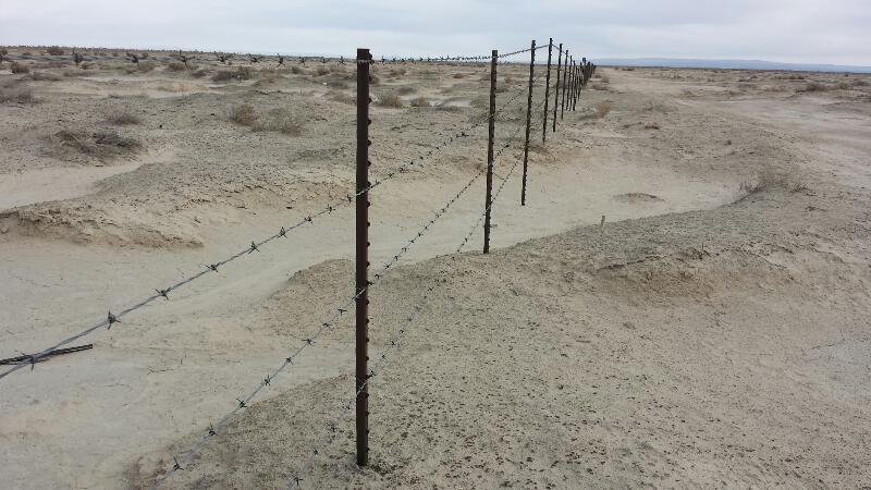
Hash point is 100 meters on the "good side" of this barbed wire fence belonging, I believe, to Edwards Air Force Base. @34.7777,-118.0480
File history
Click on a date/time to view the file as it appeared at that time.
| Date/Time | Thumbnail | Dimensions | User | Comment | |
|---|---|---|---|---|---|
| current | 16:06, 30 January 2020 | | 800 × 450 (72 KB) | Maintenance script (talk | contribs) |
- You cannot overwrite this file.
File usage
The following page links to this file: