File:2020-05-16 62 29 13-map.png
From Geohashing
Size of this preview: 800 × 500 pixels. Other resolutions: 320 × 200 pixels | 4,000 × 2,500 pixels.
Original file (4,000 × 2,500 pixels, file size: 6.32 MB, MIME type: image/png)
Summary
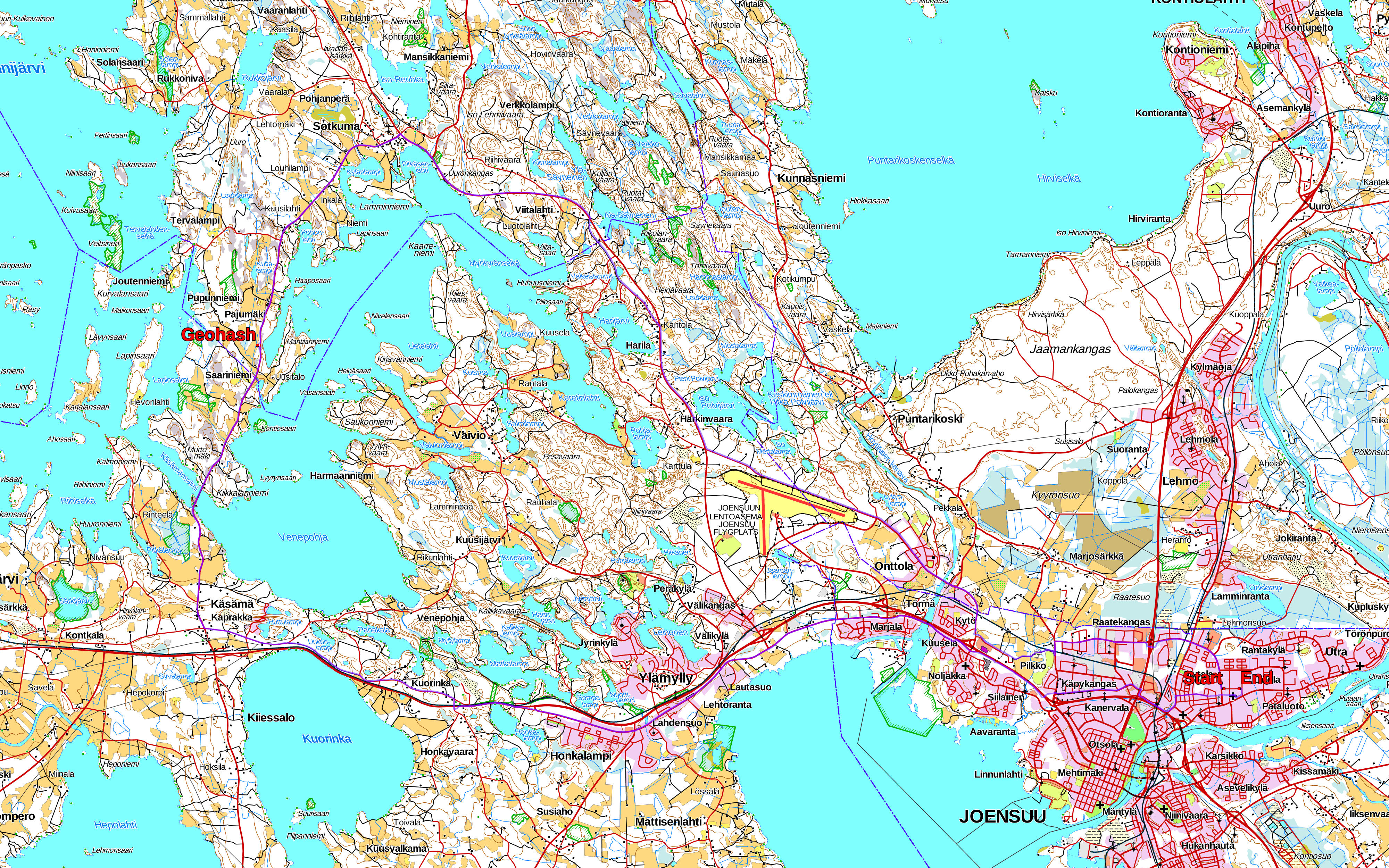
My tracklog plotted on a map. I removed the points close to my home so I would not reveal its location. I do live somewhere on this street though.
Background map: Topographic map 1:100 000 by National Land Survey of Finland, downloaded 2020-05-16.
File history
Click on a date/time to view the file as it appeared at that time.
| Date/Time | Thumbnail | Dimensions | User | Comment | |
|---|---|---|---|---|---|
| current | 14:43, 16 May 2020 | | 4,000 × 2,500 (6.32 MB) | Kripakko (talk | contribs) | Category: Meetup on 2020-05-15 Category: Meetup in 62 29 |
- You cannot overwrite this file.
File usage
The following page links to this file: