File:2020-09-10 35 -105 path.jpg
From Geohashing
Size of this preview: 450 × 600 pixels. Other resolution: 180 × 240 pixels.
Original file (3,096 × 4,128 pixels, file size: 7.49 MB, MIME type: image/jpeg)
Summary
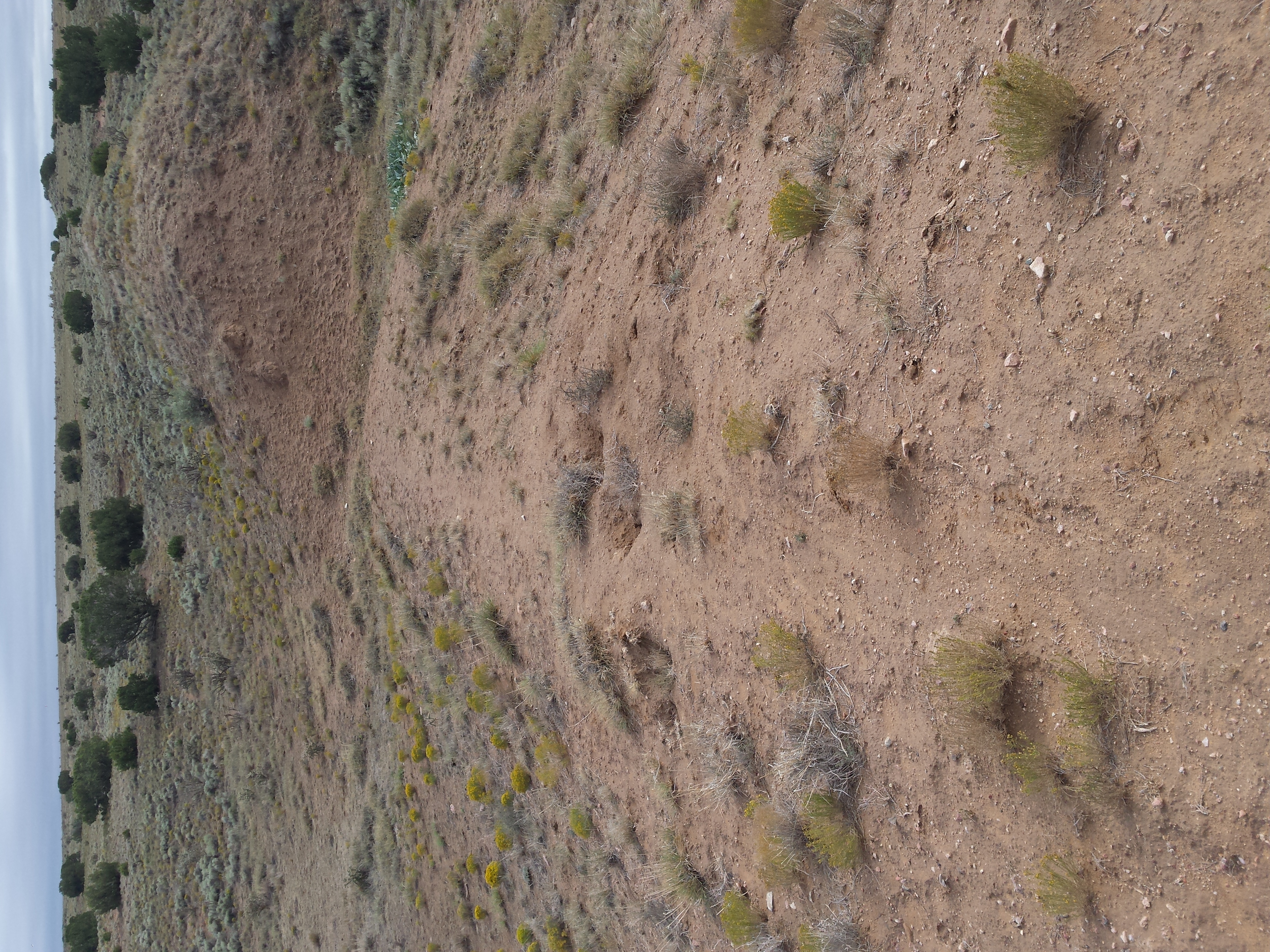
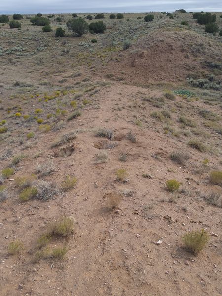
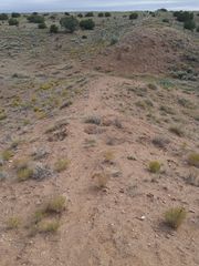
The way north ended up being on top of a berm for some reason. Here it is cut to allow an intermittent stream (currently 'dry' meaning not flowing, although still moist from a recent rain) through.
File history
Click on a date/time to view the file as it appeared at that time.
| Date/Time | Thumbnail | Dimensions | User | Comment | |
|---|---|---|---|---|---|
| current | 01:34, 14 September 2020 | | 3,096 × 4,128 (7.49 MB) | Arlo (talk | contribs) | The way north ended up being on top of a berm for some reason. Here it is cut to allow an intermittent stream (currently 'dry' meaning not flowing, although still moist from a recent rain) through. |
- You cannot overwrite this file.
File usage
The following page links to this file: