File:GPS at Hashpoint.JPG
From Geohashing
Size of this preview: 800 × 600 pixels. Other resolutions: 320 × 240 pixels | 1,024 × 768 pixels.
Original file (1,024 × 768 pixels, file size: 155 KB, MIME type: image/jpeg)
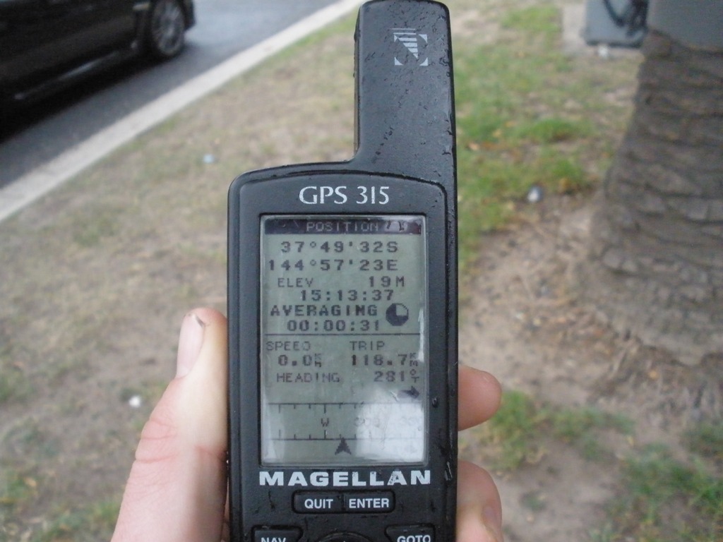
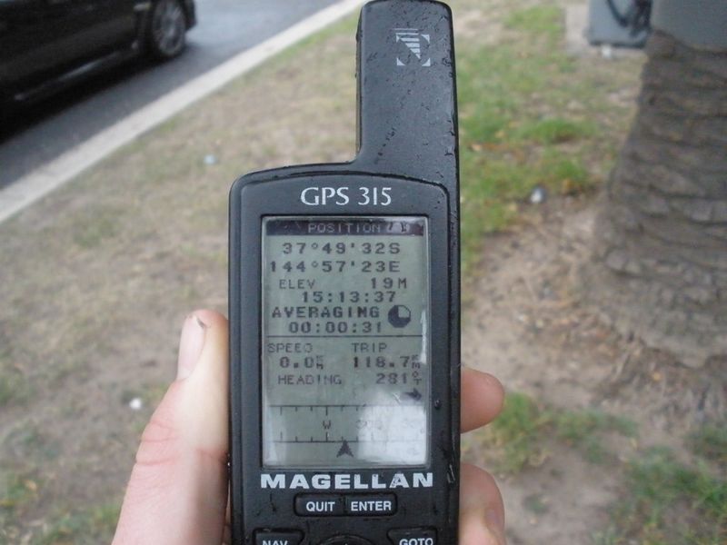
This is the GPS at the geohash location on Monday, May the 25th, 2009. The graticule is S37,E144 and was visited by Felix Dance during work hours. The location was in the centre median of Normanby Road, South Melbourne, Victoria, Australia.
File history
Click on a date/time to view the file as it appeared at that time.
| Date/Time | Thumbnail | Dimensions | User | Comment | |
|---|---|---|---|---|---|
| current | 13:39, 30 January 2020 | | 1,024 × 768 (155 KB) | Maintenance script (talk | contribs) |
- You cannot overwrite this file.
File usage
The following page links to this file: