Difference between revisions of "2020-11-06 49 8"
(Report!) |
(→tracklog) |
||
| (One intermediate revision by the same user not shown) | |||
| Line 40: | Line 40: | ||
===tracklog=== | ===tracklog=== | ||
| − | + | [http://www.mygpsfiles.com/app/#https://www.dropbox.com/sh/l38ubdidvmv439v/AACuMnAqiDq9x8XJABNwLM6-a/2020/2020-11-06_49_8-triton.gpx triton tracklog] | |
[[Category:Expeditions]] | [[Category:Expeditions]] | ||
[[Category:Expeditions with photos]] | [[Category:Expeditions with photos]] | ||
| − | [[Category:Coordinates reached]] | + | [[Category:Coordinates not reached]] |
| + | [[Category:Not reached - No public access]] | ||
[[Category:Danatar]] | [[Category:Danatar]] | ||
{{location|DE|BW|HD}} | {{location|DE|BW|HD}} | ||
Latest revision as of 17:47, 7 February 2021
| Fri 6 Nov 2020 in Mannheim: 49.4711882, 8.6237355 geohashing.info google osm bing/os kml crox |
Location
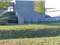
Today's location is behind "Martin" school (a school for kids with special needs of the body) in Ladenburg. The spot is on a track in the school's backyard.
Country: Germany; state: Baden-Württemberg (EU:DE:BW); administrative region: Karlsruhe; district: Rhein-Neckar-Kreis
Expedition
Danatar
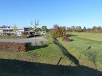
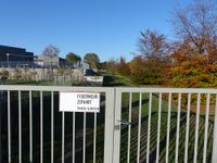
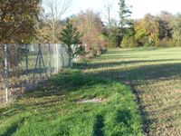
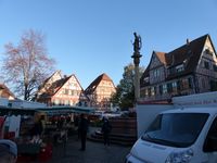
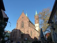
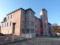
I've been at my parents' place for a few days and when I saw that the hashpoint was on the other side of town I knew that I would go there, even though it looked like I would not be able to reach the exact spot. I planned to walk there after lunch. My mother decided that she would accompany me, because the weather was nice. We walked along the Neckar river before taking a path along Kandelbach creek that led most of the way towards Martin school. After walking past the school we reached the backside gate where the track with the hashpoint started. It was closed so we walked along the adjacent field until we were very near to the spot but still too far away. Then we walked the long way all around the school to the other side because we didn't want to walk through the field that was reaching right up to the fence in the northern part of the school. The gate on the other side was closed as well. Then we walked home, using a route through the historic town center.
Danatar and his mom earned the No trespassing consolation prize
|
|
