Difference between revisions of "2024-09-30 47 8"
From Geohashing
Globescorer (talk | contribs) (→Photos) |
Globescorer (talk | contribs) (→Achievements) |
||
| Line 33: | Line 33: | ||
== Achievements == | == Achievements == | ||
{{#vardefine:ribbonwidth|100%}} | {{#vardefine:ribbonwidth|100%}} | ||
| − | {{land geohash|date=2024-09- | + | {{land geohash|date=2024-09-30|latitude=47|longitude=8|name=[[User:globescorer|globescorer]]|image=2024-09-30 47 8 The Geohash.jpg}} |
{{Speedrun achievement | {{Speedrun achievement | ||
| latitude = 47 | | latitude = 47 | ||
| longitude = 8 | | longitude = 8 | ||
| − | | date = 2024-09- | + | | date = 2024-09-30 |
| minutes = 55 | | minutes = 55 | ||
| name = [[User:globescorer|globescorer]] | | name = [[User:globescorer|globescorer]] | ||
Revision as of 14:22, 30 September 2024
| Tue 24 Sep 2024 in 47,8: 47.5219591, 8.8309798 geohashing.info google osm bing/os kml crox |
Location
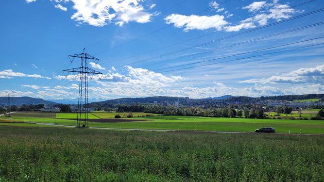
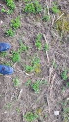
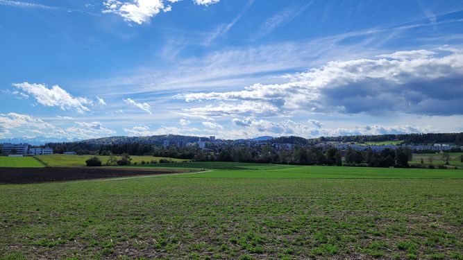
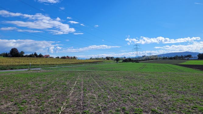
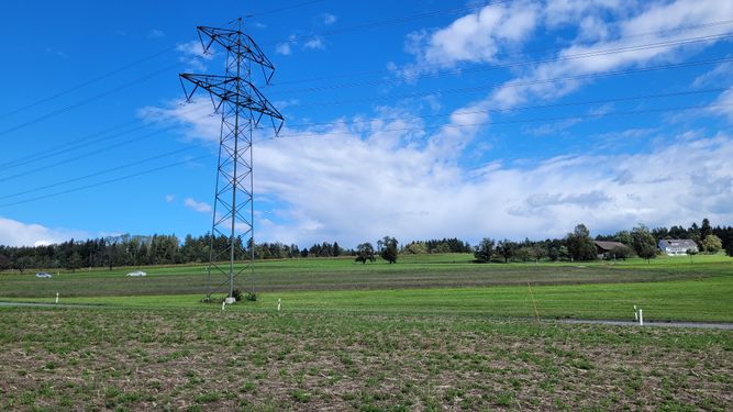
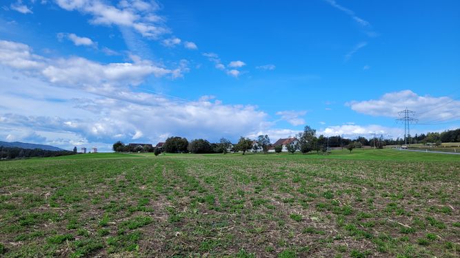
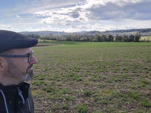
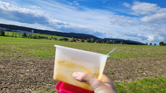
This Geohash is located in a field near Katzenrüti.
Participants
Plans
going there in my lunchtime.
Expedition
report to do...
Photos
Achievements
globescorer earned the Land geohash achievement
|
globescorer earned the Speedrun achievement
|
