Difference between revisions of "2009-05-02 40 -74"
From Geohashing
imported>Fippe ({{meetup graticule}}) |
m |
||
| (One intermediate revision by one other user not shown) | |||
| Line 7: | Line 7: | ||
[[Image:Middle-of-route-17.jpg|center]] | [[Image:Middle-of-route-17.jpg|center]] | ||
| − | + | [[Category:Expeditions]] | |
| − | + | [[Category:Expeditions with photos]] | |
[[Category:Meetup on 2009-05-02]] | [[Category:Meetup on 2009-05-02]] | ||
[[Category:Meetup in 40 -74]] | [[Category:Meetup in 40 -74]] | ||
[[Category:Coordinates reached]] | [[Category:Coordinates reached]] | ||
| + | {{location|US|NJ|BE}} | ||
Latest revision as of 17:43, 19 April 2021
| Sat 2 May 2009 in 40,-74: 40.9585510, -74.0748822 geohashing.info google osm bing/os kml crox |
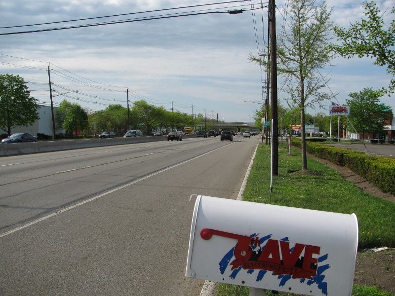
While visiting the US from Israel, Avish chose this day for his first-ever geohashing. Lacking a GPS, he memorized the google map and went looking for the middle of the highway. After finding it (for the second time) it was obvious that no one else was there. Shame on you, New Jersey geohashers.
- To be fair, about 100,000 drivers go past this spot every day ;-)
It looked a little something like this:
