Difference between revisions of "2009-08-27 33 -84"
From Geohashing
(→NWoodruff) |
imported>FippeBot m (Location) |
||
| (2 intermediate revisions by one other user not shown) | |||
| Line 25: | Line 25: | ||
<gallery caption="Photo Gallery" widths="200px" heights="200px" perrow="3"> | <gallery caption="Photo Gallery" widths="200px" heights="200px" perrow="3"> | ||
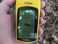
| − | Image:2009082733-84NW01.JPG| | + | Image:2009082733-84NW01.JPG| 2.49 feet to go. Close enough. |
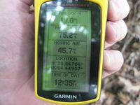
| + | Image:2009082733-84NW02.JPG| Time of the meetup. | ||
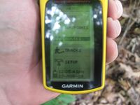
| + | Image:2009082733-84NW03.JPG| Date of the meetup | ||
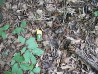
| + | Image:2009082733-84NW04.JPG| Exact spot of the Geohash. | ||
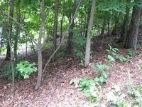
| + | Image:2009082733-84NW05.JPG| A view looking into the trees at the exact spot. | ||
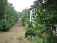
| + | Image:2009082733-84NW06.JPG| A picture looking down the hill. | ||
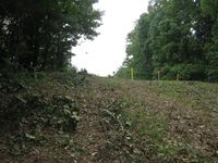
| + | Image:2009082733-84NW07.JPG| A picture looking up the hill. | ||
| + | Image:2009082733-84NW08.JPG| A picture of me with a Stupid Grin™ | ||
</gallery> | </gallery> | ||
| Line 35: | Line 42: | ||
[[Category:Coordinates reached]] | [[Category:Coordinates reached]] | ||
[[Category:Expeditions with photos]] | [[Category:Expeditions with photos]] | ||
| + | {{location|US|GA|FU}} | ||
Latest revision as of 05:24, 8 August 2019
| Thu 27 Aug 2009 in Atlanta: 33.8670619, -84.4493600 geohashing.info google osm bing/os kml crox |
Graticule
About
Out back of a parking deck of an apartment complex. I made it out to the hash point at lunch time.
Expedition
NWoodruff
Welcome back Woodveil! I've missed you guys.
Gallery
- Photo Gallery
Achievements
NWoodruff earned the Land geohash achievement
|
