Difference between revisions of "2011-06-11 61 8"
From Geohashing
imported>Relet m |
m (per Renaming Proposal) |
||
| (6 intermediate revisions by 3 users not shown) | |||
| Line 8: | Line 8: | ||
== Location == | == Location == | ||
In a forest, near a footpath, near Ryfossen. | In a forest, near a footpath, near Ryfossen. | ||
| + | |||
| + | {{PBGH battleship | lat = 61 | lon = 8 | date = 2011-06-11 }} | ||
== Participants == | == Participants == | ||
| Line 17: | Line 19: | ||
== Expedition == | == Expedition == | ||
| − | We visited the geohash and hiked to Hugakøllen. | + | We visited the geohash and hiked to Hugakøllen. We also saw two meese. |
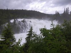
*700m and a footpath towards the hash. The Ryfossen is impressive. -- [[User:relet|relet]] [http://www.openstreetmap.org/?lat=61.14210247993469&lon=8.82303535938263&zoom=16&layers=B000FTF @61,1421,8,8230] 17:21, 11 Juni 2011 (MESZ) | *700m and a footpath towards the hash. The Ryfossen is impressive. -- [[User:relet|relet]] [http://www.openstreetmap.org/?lat=61.14210247993469&lon=8.82303535938263&zoom=16&layers=B000FTF @61,1421,8,8230] 17:21, 11 Juni 2011 (MESZ) | ||
| Line 27: | Line 29: | ||
{{#vardefine:gaLines|2}} | {{#vardefine:gaLines|2}} | ||
{{Gallery2| | {{Gallery2| | ||
| − | {{GalleryItem | File:... | ... }} | + | {{GalleryItem | File:2011-06-11_61_8_R1063526.JPG | It was raining. "The main road Oslo-Trondheim is flooded" kind of rain. }} |
| + | {{GalleryItem | File:2011-06-11_61_8_R1063531.JPG | We discovered the footpath to be a training run. }} | ||
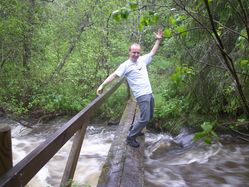
| + | {{GalleryItem | File:2011-06-11_61_8_R1063537.JPG | And wonderful tiny bridges over wild water. }} | ||
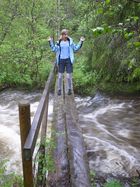
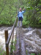
| + | {{GalleryItem | File:2011-06-11_61_8_R1063538.JPG | Scary? }} | ||
| + | {{GalleryItem | File:2011-06-11_61_8_R1063540.JPG | Oh! A camera! }} | ||
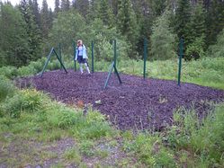
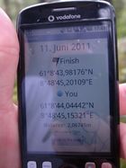
| + | {{GalleryItem | File:2011-06-11_61_8_R1063543.JPG | Coordinates reached in the thick wet forest. }} | ||
| + | {{GalleryItem | File:2011-06-11_61_8_R1063545.JPG | Ryfossen. }} | ||
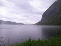
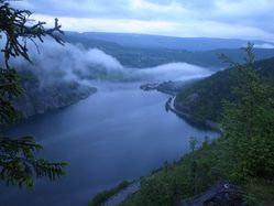
| + | {{GalleryItem | File:2011-06-11_61_8_R1063558.JPG | Nørsvinfjorden. }} | ||
| + | {{GalleryItem | File:2011-06-11_61_8_R1063564.JPG | On the way up }} | ||
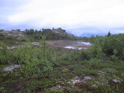
| + | {{GalleryItem | File:2011-06-11_61_8_R1063578.JPG | Highland swamps }} | ||
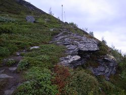
| + | {{GalleryItem | File:2011-06-11_61_8_R1063590.JPG | The path is marked with lightning rods }} | ||
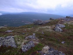
| + | {{GalleryItem | File:2011-06-11_61_8_R1063594.JPG | Rock panorama }} | ||
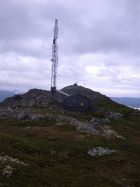
| + | {{GalleryItem | File:2011-06-11_61_8_R1063595.JPG | Telecommunications }} | ||
| + | {{GalleryItem | File:2011-06-11_61_8_R1063597.JPG | Jotunheimen and Vangsmjøse }} | ||
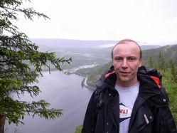
| + | {{GalleryItem | File:2011-06-11_61_8_R1063617.JPG | On the way down - ca. 10pm }} | ||
| + | {{GalleryItem | File:2011-06-11_61_8_Ryfossen.jpg | Ryfossen panorama }} | ||
| + | {{GalleryItem | File:2011-06-11_61_8_Hugakøllen.jpg | Hugakøllen panorama }} | ||
}} | }} | ||
| + | |||
== Achievements == | == Achievements == | ||
| − | {{ | + | {{Graticule unlocked |
| latitude = 61 | | latitude = 61 | ||
| longitude = 8 | | longitude = 8 | ||
| Line 41: | Line 60: | ||
[[Category:Expeditions with photos]] | [[Category:Expeditions with photos]] | ||
[[Category:Coordinates reached]] | [[Category:Coordinates reached]] | ||
| + | {{location|NO|34}} | ||
Latest revision as of 05:53, 20 March 2024
| Sat 11 Jun 2011 in 61,8: 61.1455505, 8.8125559 geohashing.info google osm bing/os kml crox |
Location
In a forest, near a footpath, near Ryfossen.
Today's battleship location is: I 2
Participants
Plans
Visit the geohash and hike to Hugakøllen.
Expedition
We visited the geohash and hiked to Hugakøllen. We also saw two meese.
- 700m and a footpath towards the hash. The Ryfossen is impressive. -- relet @61,1421,8,8230 17:21, 11 Juni 2011 (MESZ)
Photos
|
Achievements
lyx and relet earned the Graticule Unlocked Achievement
|

