Difference between revisions of "2024-10-16 47 9"
Globescorer (talk | contribs) (→Photos) |
m (Replacing ribbon with template) |
||
| (22 intermediate revisions by 3 users not shown) | |||
| Line 8: | Line 8: | ||
==Plans== | ==Plans== | ||
Visiting this geohash and some geocaches during my today's motorcycle tour. | Visiting this geohash and some geocaches during my today's motorcycle tour. | ||
| + | |||
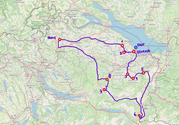
| + | [[File:2024-10-16 47 9 tracklog.jpg|600px]] | ||
| + | The route | ||
== Expedition == | == Expedition == | ||
| Line 42: | Line 45: | ||
[https://coord.info/GCP2C9 Petersbrogg (Toggenburg) GCP2C9] (05/2005) | [https://coord.info/GCP2C9 Petersbrogg (Toggenburg) GCP2C9] (05/2005) | ||
[https://coord.info/GCK2XW Neckertal GCK2XW] (07/2004) | [https://coord.info/GCK2XW Neckertal GCK2XW] (07/2004) | ||
| − | '' | + | |
| − | It should be clear that these old caches are rarely drive-ins and therefore take some time. | + | ''It should be clear that these old caches are rarely drive-ins and therefore take some time.'' |
| − | Many thanks to all owners for their many years of maintenance work!'' | + | ''Many thanks to all owners for their many years of maintenance work!'' |
''I had fun'' | ''I had fun'' | ||
| Line 52: | Line 55: | ||
== Photos == | == Photos == | ||
| − | <gallery mode="packed" heights=" | + | <gallery mode="packed" heights="250px"> |
| + | |||
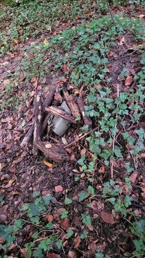
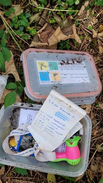
| − | File:2024-10-16 47 9 Cache 3.jpg | + | File:2024-10-16 47 9 Cache 1.jpg|First cache found (Amriswiler Cache GCAC69) |
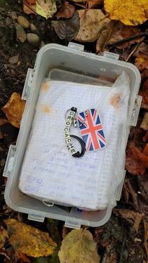
| − | File:2024-10-16 47 9 | + | File:2024-10-16 47 9 Cache 2.jpg|Second cache found (Ruine Alt-Ramschwag GCHCPR) |
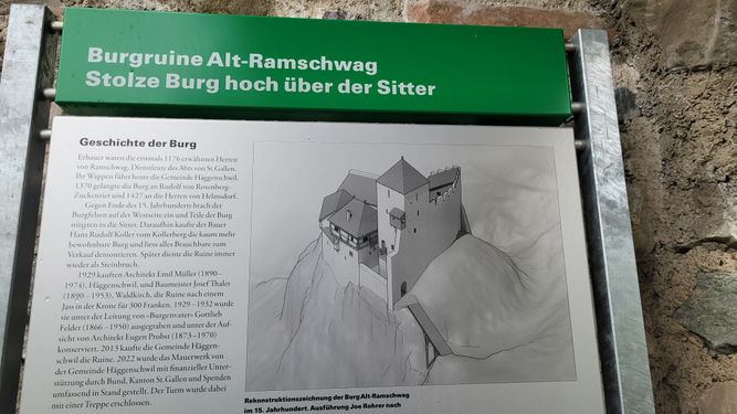
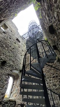
| − | File:2024-10-16 47 9 | + | File:2024-10-16 47 9 Ramschwag 1.jpg|sign of the castle ruin "Alt-Ramschwag" |
| − | File:2024-10-16 47 9 | + | File:2024-10-16 47 9 Ramschwag 3.jpg|inside castle ruin |
| − | File:2024-10-16 47 9 | + | </gallery> |
| − | File:2024-10-16 47 9 | + | ---- |
| − | File:2024-10-16 47 9 east.jpg | + | <gallery mode="packed" heights="250px"> |
| + | File:2024-10-16 47 9 way to go 1.jpg|way to go 1 | ||
| + | File:2024-10-16 47 9 way to go 2.jpg|way to go 2 | ||
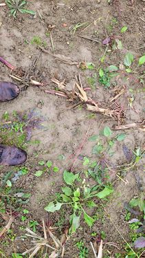
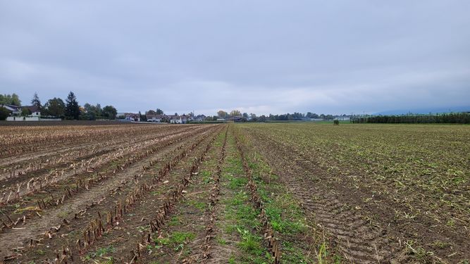
| + | File:2024-10-16 47 9 The Geohash.jpg|The Geohash | ||
| + | File:2024-10-16 47 9 proof 1.jpg|The proof | ||
| + | |||
| + | File:2024-10-16 47 9 panorama.jpg | ||
| + | |||
| + | File:2024-10-16 47 9 east.jpg|east | ||
| + | File:2024-10-16 47 9 north.jpg|north | ||
| + | File:2024-10-16 47 9 west.jpg|west | ||
| + | File:2024-10-16 47 9 south.jpg|south | ||
| + | </gallery> | ||
| + | ---- | ||
| + | <gallery mode="packed" heights="250px"> | ||
File:2024-10-16 47 9 moehl 1.jpg | File:2024-10-16 47 9 moehl 1.jpg | ||
File:2024-10-16 47 9 moehl 2.jpg | File:2024-10-16 47 9 moehl 2.jpg | ||
File:2024-10-16 47 9 moehl 3.jpg | File:2024-10-16 47 9 moehl 3.jpg | ||
| − | + | </gallery> | |
| − | + | ---- | |
| − | File:2024-10-16 47 9 | + | <gallery mode="packed" heights="250px"> |
| − | File:2024-10-16 47 9 | + | File:2024-10-16 47 9 Cache 3.jpg|Cache number 3 (Kapelle St. Peter und Paul - Enggenhütten/AI GCZ2AP) |
| − | + | File:2024-10-16 47 9 Cache 4.jpg|Cache number 4 (Appenzell -Hauptgasse-Webcam GCPM3E) a rare webcam-cache | |
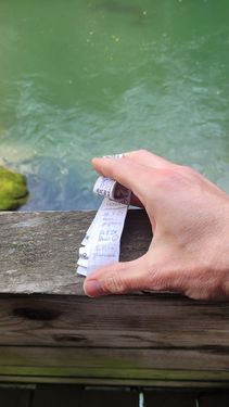
| − | File:2024-10-16 47 9 | + | File:2024-10-16 47 9 Cache 5.jpg|Cache number 5 (20 CNTS CACHE OF SWITZERLAND GCGE0Y) |
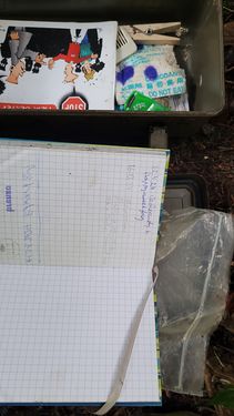
| − | File:2024-10-16 47 9 | + | File:2024-10-16 47 9 Cache 6.jpg|Cache number 6 (Ob Oberschan GCW7A2) |
| − | File:2024-10-16 47 9 | + | File:2024-10-16 47 9 Cache 7.jpg|Cache number 7 (Petersbrogg (Toggenburg) GCP2C9) |
| − | File:2024-10-16 47 9 | + | File:2024-10-16 47 9 Cache 8.jpg|Cache number 8 (Neckertal GCK2XW) |
| − | + | </gallery> | |
| − | + | ---- | |
| − | File:2024-10-16 47 9 | + | <gallery mode="packed" heights="250px"> |
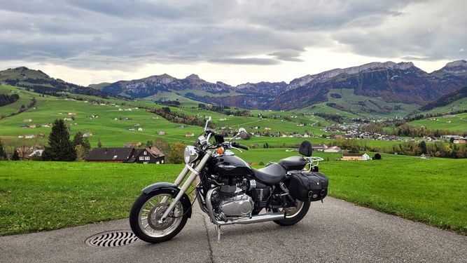
| − | + | File:2024-10-16 47 9 pic 1.jpg|view to the "[https://de.wikipedia.org/wiki/Alpstein Alpsteinmassiv]" | |
| − | File:2024-10-16 47 9 | + | File:2024-10-16 47 9 pic 2.jpg|over the fog |
| − | File:2024-10-16 47 9 | + | File:2024-10-16 47 9 pic 3.jpg|autumn is here |
| − | File:2024-10-16 47 9 | + | File:2024-10-16 47 9 pic 4.jpg|nice place |
| − | |||
</gallery> | </gallery> | ||
| Line 86: | Line 103: | ||
{{#vardefine:ribbonwidth|100%}} | {{#vardefine:ribbonwidth|100%}} | ||
{{land geohash|date=2024-10-16|latitude=47|longitude=9|name=[[User:globescorer|globescorer]]|image=2024-10-16 47 9 The Geohash.jpg}} | {{land geohash|date=2024-10-16|latitude=47|longitude=9|name=[[User:globescorer|globescorer]]|image=2024-10-16 47 9 The Geohash.jpg}} | ||
| + | {{Sightseeing achievement | latitude = 47 | longitude = 9 | date = 2024-10-16 | wikipage = de:Mosterei Möhl}} | ||
| + | {{Last man standing | latitude = 47 | longitude = 9 | date = 2024-10-16 | name = globescorer }} | ||
| + | |||
| + | __NOTOC__ | ||
| + | [[Category:Expeditions]] | ||
| + | [[Category:Expeditions with photos]] | ||
| + | [[Category:Coordinates reached]] | ||
{{location|CH|TG}} | {{location|CH|TG}} | ||
Latest revision as of 19:29, 12 November 2024
| Wed 16 Oct 2024 in 47,9: 47.5041263, 9.4146262 geohashing.info google osm bing/os kml crox |
Location
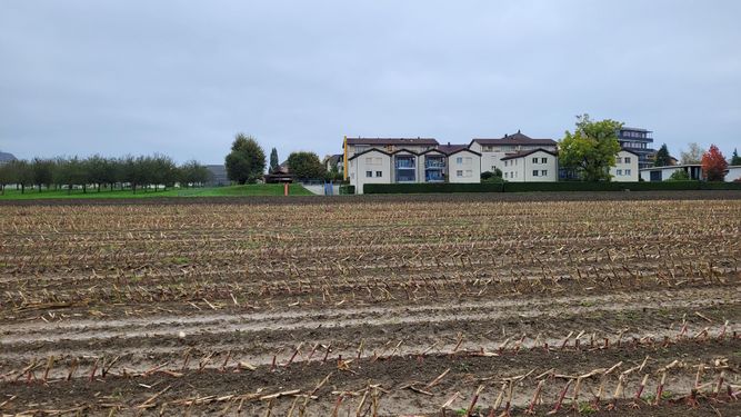
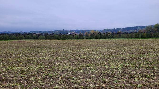
This Geohash is located in a field near Arbon.
Participants
Plans
Visiting this geohash and some geocaches during my today's motorcycle tour.
Expedition
For this report I will simply attach my log entry of the geocaches:
Today I took time off for an extended motorcycle tour... The weather forecast actually looked good 1-2 days earlier...
Since today's Geohash was near Arbon, I decided on Eastern Switzerland. (yes, you read that right: GEOHASH - not geocache! More on that at the end of the log) Easy tour with nice, cozy little hill passes.
But I like to combine my hobbies: motorcycling, geocaching, geohashing. So I thought about which caches I would also like to visit and scanned the Eastern Switzerland region for old caches (still missing from my matrix) and picked one out for each month/year. Then I tried to plan a suitable route using the passes. According to my notes there would be a 10 hour tour... doable...
Let's see 😅
At 7:30 a.m. I was ready to leave! Overcast sky... After a 15 minute drive from Canton Zurich to Thurgau it was clear: Fog was coming in and it was also clear that it would get thicker... Thurgau just... I was hoping for improvement...
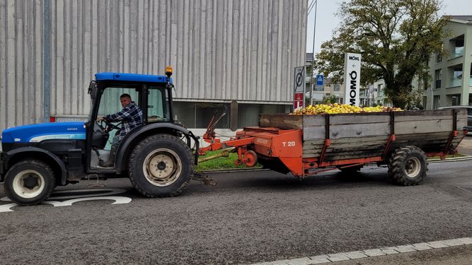
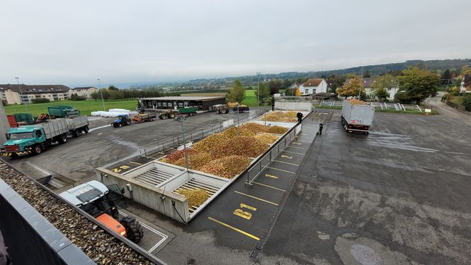
...you think! After two great finds and the geohash, I treated myself to a cafe and croissant in the nearby Möhl-Bistro at the cider factory. When I wanted to get back to the motorbike to continue my journey, I noticed that it had started to rain! Man... And the fact that the next cache was a DNF after a long period of collecting numbers for its riddle didn't make it any better and I lost a lot of time... At some point the rain stopped and I was able to celebrate 6 more great finds.
In total I arrived back home after almost exactly 300km and about 11 hours. And yes, the weather improved in the afternoon.
In my luggage in order (with date of hiding):
   Amriswiler Cache GCAC69 (11/2002)
   Ruine Alt-Ramschwag GCHCPR (12/2003)
   Geohash 47 9
   SCRABBLE in Arbor Felix GCT9T1 (02/2006) DNF
   Kapelle St. Peter und Paul - Enggenhütten/AI GCZ2AP (10/2006)
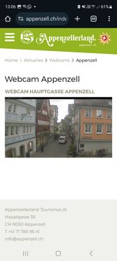
   Appenzell -Hauptgasse-Webcam GCPM3E (07/2005)
   20 CNTS CACHE OF SWITZERLAND GCGE0Y (06/2003)
   Ob Oberschan GCW7A2 (05/2006)
   Petersbrogg (Toggenburg) GCP2C9 (05/2005)
   Neckertal GCK2XW (07/2004)
It should be clear that these old caches are rarely drive-ins and therefore take some time. Many thanks to all owners for their many years of maintenance work!
I had fun Best regards globescorer
Photos
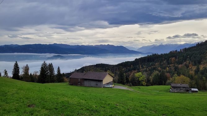
view to the "Alpsteinmassiv"
Achievements
globescorer earned the Land geohash achievement
|
This user earned the Sightseeing achievement
|
globescorer earned the Last man standing achievement
|
