Difference between revisions of "2024-11-24 48 11"
From Geohashing
(→Photos) |
(+ location photo) |
||
| (3 intermediate revisions by 2 users not shown) | |||
| Line 17: | Line 17: | ||
<gallery mode="packed" heights="250px"> | <gallery mode="packed" heights="250px"> | ||
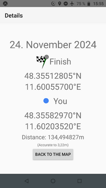
File:2024-11-24 48 11 proof.png | not quite :) | File:2024-11-24 48 11 proof.png | not quite :) | ||
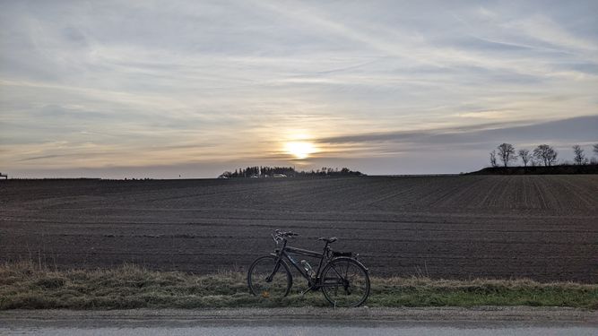
| − | + | File:2024-11-24 48 11 location.jpg | location | |
</gallery> | </gallery> | ||
| Line 26: | Line 26: | ||
[[Category:Expeditions with photos]] | [[Category:Expeditions with photos]] | ||
[[Category:Coordinates not reached]] | [[Category:Coordinates not reached]] | ||
| + | [[Category:Not reached - No public access]] | ||
{{location|DE|BY|FS}} | {{location|DE|BY|FS}} | ||
Latest revision as of 11:52, 29 November 2024
| Sun 24 Nov 2024 in 48,11: 48.3551281, 11.6005570 geohashing.info google osm bing/os kml crox |
Location
On a muddy field in Fahrenzhausen
Participants
Expedition
Iqui: We went there together by bike, but we didn't expect to actually get to the exact spot as it was pretty much in the center of a muddy field. We did successfully pick up two geocaches on the way back though!

