Difference between revisions of "2008-06-28 42 -71"
imported>FippeBot m (Location) |
m |
||
| Line 13: | Line 13: | ||
According to the DCR's [[http://www.mass.gov/dcr/parks/trails/print/LowellDrac.pdf trail map]] of the state forest, the actual point is just off the Family Loop Trail, only about a half mile from the main entrance. Given that the logging road is closed to motor vehicles, the actual point is probably as easy to get to as the alternate meetup location suggested above. | According to the DCR's [[http://www.mass.gov/dcr/parks/trails/print/LowellDrac.pdf trail map]] of the state forest, the actual point is just off the Family Loop Trail, only about a half mile from the main entrance. Given that the logging road is closed to motor vehicles, the actual point is probably as easy to get to as the alternate meetup location suggested above. | ||
| − | == | + | ==Participants== |
* [[User:Pixel]] is planning to hit four different graticules that day, ending up at this location hopefully around 4pm. | * [[User:Pixel]] is planning to hit four different graticules that day, ending up at this location hopefully around 4pm. | ||
* [[User:xaco|xaco]] is planning to try out his new GPS and make the meetup at 4pm. Tim from work is also joining him. | * [[User:xaco|xaco]] is planning to try out his new GPS and make the meetup at 4pm. Tim from work is also joining him. | ||
Latest revision as of 22:06, 14 August 2024
| Sat 28 Jun 2008 in 42,-71: 42.6581110, -71.3656342 geohashing.info google osm bing/os kml crox |
About
42.658110958785485N, 71.36563417682252W
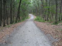
This geohash is located in the Boston, Massachusetts graticule in the Lowell-Dracut-Tyngsboro State Forest just south of a logging road. And alternate meetup location has been proposed for said logging road just north of the location.
According to the DCR's [trail map] of the state forest, the actual point is just off the Family Loop Trail, only about a half mile from the main entrance. Given that the logging road is closed to motor vehicles, the actual point is probably as easy to get to as the alternate meetup location suggested above.
Participants
- User:Pixel is planning to hit four different graticules that day, ending up at this location hopefully around 4pm.
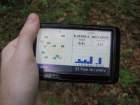
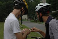
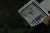
- xaco is planning to try out his new GPS and make the meetup at 4pm. Tim from work is also joining him.
- Sparky will be there.
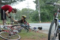
- User:rmo25 will be biking there with a few others.
- Alternative Option: Pinecone is interested in using his experimental decihash system to meet up at 55 Mt Vernon St, Boston, just a block from the Boston Gardens. See his user page for details on how this location was arrived at. Two other people have said Yes so we are a GO. There is cake, repeat, THERE WILL BE CAKE.
Expeditions
It seems there were two separate expeditions made. The Alternative Option also made it to their objective.
Group 1
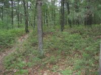
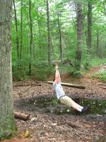
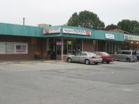
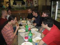
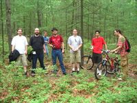
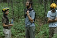
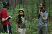
sparkyb was a little late to the 4pm meetup (because I only put in the hash coordinates to my GPS, but the forest main entrance and parking was a lot harder to find than I expected). When I was almost at the hash I met one guy who was leaving and informed me that I was late and everyone had just left. I visited the spot anyway, took some pictures, and then fled from the mosquitoes eating me alive. When I got back to my car I met up with Xkcd, Pixel, and 5 others who had walked back a different way. We went and got pizza at a nearby place.
- 4pm Group
Group 2
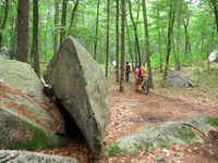
User:rmo25 made it out on bike with four committed--if tardy--first-time geohashers. We arrived at around 5:30 to find...mosquitoes.
- Late Forest Hashers
Decihash Expedition
Following the dictates of his experimental decihash system, Pinecone met up with Bret at 55 Mt Vernon St, Boston which is a historic something or other on Beacon Hill. We marked, we ate cake, but we forgot the game! Also established contact with Group 1 above, perhaps achieving the first real time interhash communication system?
