Difference between revisions of "2023-05-04 30 34"
From Geohashing
(→Expedition) |
m |
||
| Line 17: | Line 17: | ||
==Photos== | ==Photos== | ||
<gallery mode="packed" heights="200px"> | <gallery mode="packed" heights="200px"> | ||
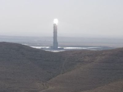
| − | 2023-05-04 30 34 A.jpg | | + | 2023-05-04 30 34 A.jpg | The mirrors on the ground below direct the rays of the sun to the tower where they are absorbed to make electricity |
| − | The mirrors on the ground below direct the rays of the sun to the tower where they are absorbed to make electricity | + | 2023-05-04 30 34 B.jpg | proof |
| − | 2023-05-04 30 34 B.jpg | | + | 2023-05-04 30 34 C.jpg | more proof |
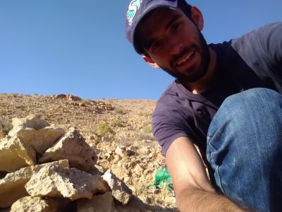
| − | proof | + | 2023-05-04 30 34 D.jpg | Geohasher |
| − | 2023-05-04 30 34 C.jpg | | + | 2023-05-04 30 34 E.jpg | Arroyo - definition: dry stream |
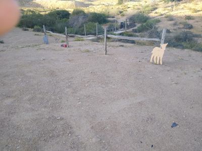
| − | more proof | + | 2023-05-04 30 34 F.jpg | Naot Farm |
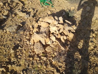
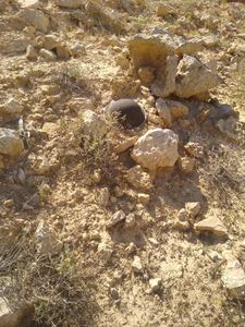
| − | 2023-05-04 30 34 D.jpg | | + | 2023-05-04 30 34 G.jpg | A pile of rocks at the hashpoint |
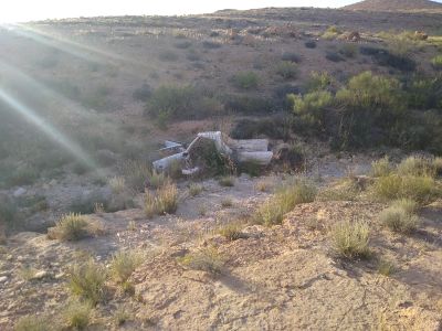
| − | Geohasher | + | 2023-05-04 30 34 H.jpg | An abandoned car |
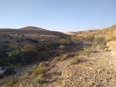
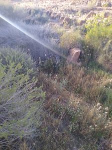
| − | 2023-05-04 30 34 E.jpg | | + | 2023-05-04 30 34 I.jpg | The relief arroyo. |
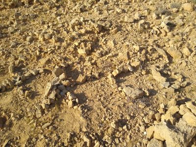
| − | Arroyo - definition: dry stream | + | 2023-05-04 30 34 J.jpg | Look closely to pick out the letters XKCD. |
| − | 2023-05-04 30 34 F.jpg | | + | 2023-05-04 30 34 K.jpg | I hope that is a hat and not something more dangerous. |
| − | Naot Farm | ||
| − | 2023-05-04 30 34 G.jpg | | ||
| − | A pile of rocks at the hashpoint | ||
| − | 2023-05-04 30 34 H.jpg | | ||
| − | An abandoned car | ||
| − | 2023-05-04 30 34 I.jpg | | ||
| − | The relief arroyo. | ||
| − | 2023-05-04 30 34 J.jpg | | ||
| − | Look closely to pick out the letters XKCD. | ||
| − | 2023-05-04 30 34 K.jpg | | ||
| − | I hope that is a hat and not something more dangerous. | ||
</gallery> | </gallery> | ||
Revision as of 21:24, 7 June 2023
| Thu 4 May 2023 in 30,34: 30.9532639, 34.7748270 geohashing.info google osm bing/os kml crox |
Location
This Geohash is located in the desert near Tlalim.
Participants
Expedition
- I've never done a virgin graticule before. It's not like there are any videos on the internet showing people doing virgin graticules so I was kind of nervous as this is my first time.
- When I was there I wanted to do all sorts of fun things with my virgin graticule but then I saw a couple of ATV's in the distance and I got scared so I left. The southern desert is actually known for crime.
- I hope the graticule will want me to geohash by there again.
- In all seriousness I hitched and bussed to Tlalim and then walked down the highway until I saw Naot Farm. I walked around it and started going up and down the valleys.
- Eventually I figured out that the terrain map from Google was useless because I could barely see it in the bright sun so I switched to the terrain map and I figured out that anything that had green was a valley so I walked up as high as I could and just followed the ridges until I was sure that all I would need to do was walk down the hill to get down.
- On the way back I saw the "relief arroyo" below. It was the most green that I had seen for several hours and so I felt quite happy after seeing so much brown. I have heard that that is why Islam uses the color green because it was a religion started in the desert.
- The trip back was uneventful but I did get to meet the people at the farm and it seemed like they were hosting a wedding.
Photos
Ribbons
Yosef achieved level 4 of the Minesweeper Geohash achievement
|
