Difference between revisions of "Stockholm, Sweden"
From Geohashing
imported>Thomcat m |
|||
| Line 6: | Line 6: | ||
Another possibility would be to use 59, 17 as a primary graticule and in case of the point being hard to access or in water 59, 18 could be used. | Another possibility would be to use 59, 17 as a primary graticule and in case of the point being hard to access or in water 59, 18 could be used. | ||
| − | '''People trying to find the point on | + | '''People trying to find the point on Saturday 2008-07-26 (don't forget to clear the names when updating the date)''' |
| − | |||
| Line 14: | Line 13: | ||
[[Image:2008_06_22N59E17_2.jpg]] | [[Image:2008_06_22N59E17_2.jpg]] | ||
| + | |||
| + | |||
| + | '''Close to Lundby kvarn (N59°6'33.85", E17°53'15.5") 2008-07-19''' | ||
| + | |||
| + | Attendants: Oskar A, Oskar T & Zihan L (going together). | ||
| + | |||
| + | Pictures on their way. | ||
[[Category:Sweden]] | [[Category:Sweden]] | ||
Revision as of 15:34, 20 July 2008
Officialy Stockholm lies on 59, 18 but since Stockholm is near the longitude line it would be possible to use 59, 17. The second alternative has less water, better public transport and more people.
Another possibility would be to use 59, 17 as a primary graticule and in case of the point being hard to access or in water 59, 18 could be used.
People trying to find the point on Saturday 2008-07-26 (don't forget to clear the names when updating the date)
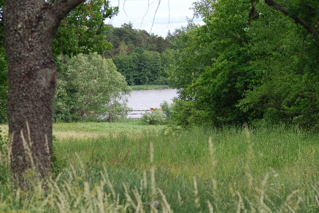
Alsta Sjö 59,17 2008-06-22
Close to Lundby kvarn (N59°6'33.85", E17°53'15.5") 2008-07-19
Attendants: Oskar A, Oskar T & Zihan L (going together).
Pictures on their way.
