Difference between revisions of "2014-08-31 50 10"
From Geohashing
imported>Reinhard m (→Photos) |
imported>Reinhard (→Photos) |
||
| Line 17: | Line 17: | ||
== Photos == | == Photos == | ||
{{gallery|width=200|height=200|lines=1 | {{gallery|width=200|height=200|lines=1 | ||
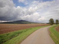
| − | |Image: | + | |Image:20140831-50N10E-01.jpg|Großer Gleichberg. Hash at its foot. |
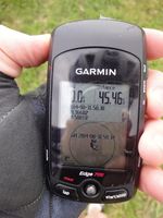
| − | |Image: | + | |Image:20140831-50N10E-02.jpg|Coordinates reached. |
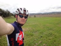
| − | |Image: | + | |Image:20140831-50N10E-03.jpg|At the hashpoint. |
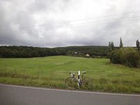
| − | |Image: | + | |Image:20140831-50N10E-04.jpg|Hash 40 m behind the bike. |
}} | }} | ||
Revision as of 22:23, 1 September 2014
| Sun 31 Aug 2014 in 50,10: 50.3660226, 10.5881789 geohashing.info google osm bing/os kml crox |
Location
On a meadow near Gleichamberg, Thuringia.
Participants
Expedition
Success.
Photos
|


