Location
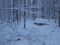
In the snowy forest near Burgrabis/Luftschiff, Thuringia.
Participants
Expedition
This Geohash point was clearly from the Too-close-to-miss-section, but the other thing about Geohashing is that you have to go on the right day, no matter what the weather or your plans look like. The weather let me choose between heavy rain in the morning and light but steady snowfall in the evening, and my plans were, according to this, to use the small "WOP" between work and play to go on a snowy cycling adventure to today's point.
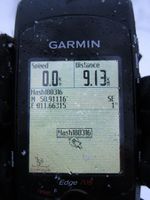
Sadly, the Ogre has become rather sick in the last few weeks of this winter, the shifters did not work reliably, the chain is worn down, so I wasn't sure how much gears I could use for my way uphill. Given that risk of course none of the other Jena Geohashers would accompany me, so I went alone, I went slowly, and sometimes I really had to push my little bike, but still we made it to the top of the hill and from there on through the snow to the Geohash point. Found it without problems but passed on the 0m-dance because the signal was drifting quite a lot in the forest, then mounted the little bike again and carefully descended, now with a frozen shifter (at least the problems vary so I won't get bored). Arrived right on time at Manu's and Reinhard's house where the food was already prepared and I could finally unfreeze, yay.
Photos
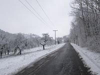
| Cycling up to Steinkreuz.
|
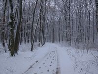
| Way to the Geohash (have there been two hashers already?)
|
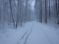
| Arriving near the Geohash (I made the only track).
|
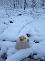
| Knüppelschaf enjoying the weather.
|
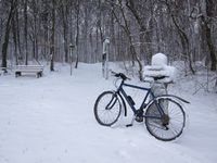
| Ogre waiting for me near yet another important-looking stone.
|
|
