Location
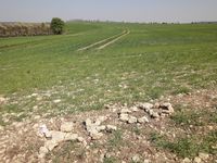
Between fields at the hillside of Jonastal near Crawinkel in Thuringia.
Participants
Expedition
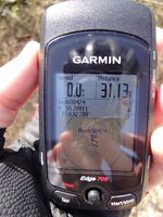
Another beautiful day for a short (63 km) bike trip. Manu and Reinhard stayed in and around Erfurt during the Easter holidays and had some spare time in the afternoon of Easter Sunday. From Erfurt they rode to Arnstadt and followed the idyllic road through the Jonastal until they were only some hundred meters from the hashpoint. The remaining part could still be done cycling using field paths. Right between one field and a strip of copse they found the exact coordinates, where an Easter lamb jumped out of Reinhard's jersey and celebrated its first geohashing success.
Photos
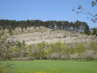
| NS bunker in the rocks of the Jonastal.
|
| Easter lamb on its way to the Easter hash.
|
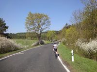
| Beautiful landscape in Jonastal.
|
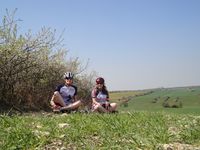
| Reinhard, Schaf and Manu.
|
| Hashmark and Gossel in the background.
|
|
