Location
Near the road from Tautenburg to Wetzdorf - on the satellite picture it is not clear whether the dedicated Geohasher will need to fall down a gorge or climb a steep hill, anyway I guess the last 50 meters are not gonna be too nice.
Participants
- Juja, Frankie and Benjy Mouse
Expedition
Photos
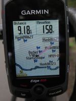
| The route is leading through a sea of former hashpoints...
|
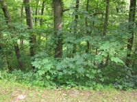
| Down there it is, behind the trees. Yeah right, the gorge.
|
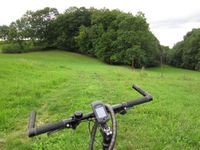
| Found a way... but it leads in the wrong direction (the hash is on the right meadow).
|
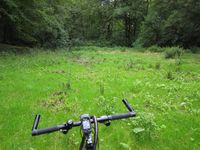
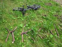
| You can only ride your bike so far...
|
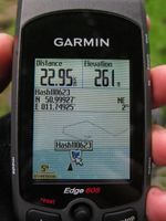
| Enough of the GPS dance, I declare the point reached!
|
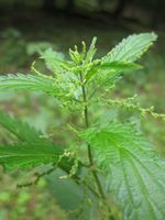
| Yeah, sure. Stinging nettles. You bastards gotta be everywhere, huh?!
|
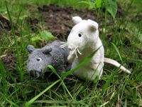
| At last! Once again, the white mouse found a spot of mud.
|
|
Distraction Counter
- Deers: 1
- Cows: 5
- Ostriches: 17... or even more
- Kitties: 2
- Barking dogs appearing out of nothing: far too many
