File:2009-03-11 52 0 view.jpg
From Geohashing
Revision as of 15:58, 30 January 2020 by Maintenance script (talk | contribs) (Maintenance script uploaded File:2009-03-11 52 0 view.jpg)

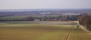
Size of this preview: 800 × 350 pixels. Other resolutions: 320 × 140 pixels | 1,152 × 504 pixels.
Original file (1,152 × 504 pixels, file size: 97 KB, MIME type: image/jpeg)
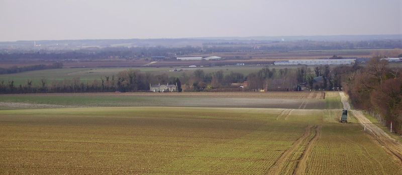
View from the top of the hill near the geohash. You can see Thriplow church in the middle, just above the long white buildings, and the chimneys on the left are Barrington cement works. The road in the foreground is Grange Road, Duxford.
File history
Click on a date/time to view the file as it appeared at that time.
| Date/Time | Thumbnail | Dimensions | User | Comment | |
|---|---|---|---|---|---|
| current | 15:58, 30 January 2020 | | 1,152 × 504 (97 KB) | Maintenance script (talk | contribs) |
- You cannot overwrite this file.
File usage
The following page links to this file: