2021-12-11 49 8
| Sat 11 Dec 2021 in Mannheim: 49.2354822, 8.8316492 geohashing.info google osm bing/os kml crox |
Location
Today's location is in the forest near Dühren, a part of Sinsheim
Country: Germany; state: Baden-Württemberg (EU:DE:BW); administrative region: Karlsruhe; district: Rhein-Neckar-Kreis; municipality: Sinsheim
Weather: clouded, cold (barely above freezing)
Expedition
Danatar
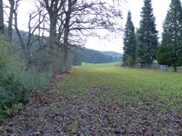
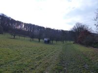
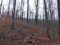
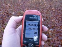
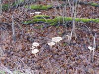
After a week of vacation at my parents' place, I was on my way home. I started in the morning and drove along the autobahns to Sinsheim. There I exited, drove through Dühren and parked the car at the edge of the town. After a short walk along a wet trail through the grass I was in the forest. I climbed a slope full of small tree shoots until I was in a small trough that probably was a water runoff. Getting the exact coordinates to show on the GPS unit was very difficult, I had to go to and fro and fro and to multiple times because the GPS reacted sluggishly, probably because of the wetness. I was finally able to find a correct spot. Then I went back to the car and continued my journey. I did not visit the other hashpoint that was along the way (in 50 11), because after lunch at Würzburg it was too late for the 4 p.m. meetup and it was already rather dark when I reached that area.
More than seven years ago, I visited a hashpoint about 2.5 km away, on the other side of the forest.
|
tracklog
will follow
