Difference between revisions of "2020-11-03 50 12"
(Report!) |
(→tracklog) |
||
| Line 35: | Line 35: | ||
===tracklog=== | ===tracklog=== | ||
| − | + | [http://www.mygpsfiles.com/app/#https://www.dropbox.com/sh/l38ubdidvmv439v/AADChzuznutaPFqxcCUmcDq1a/2020/2020-11-03_50_12_50_9-triton.gpx triton tracklog](for both hashpoits) | |
[[Category:Expeditions]] | [[Category:Expeditions]] | ||
Latest revision as of 17:46, 7 February 2021
| Tue 3 Nov 2020 in Chemnitz: 50.8403587, 12.8357783 geohashing.info google osm bing/os kml crox |
Location
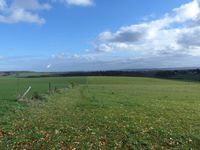
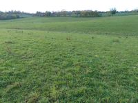
Today's location is in a meadow near Chemnnitz.
Country: Germany; state: Sachsen (Saxony, EU:DE:SN); district: Chemnitz
Weather: sunny with clouds, very warm for a November day
Expedition
Danatar
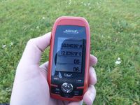
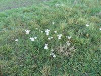
I was on my way to my parents and two hashpoints were so near to my route that they would not take too much of a detour to visit. After the first hour of driving, I left the Autobahn A4 at the "Chemnitz Mitte" exit, then drove through Röhrsdorf. I missed the branch-off towards Rabenstein, noticing the street sign too late, so I turned around at the next possibility. When I turned into that street I noticed that the sign wasn't "Rabenstein street" but instead "Rathaus place", so I turned again, continuing in the earlier direction. Then I realized that I should have passed the branch-off already according to my odometer so I turned around another time, finally finding Rabenstein street. After a short drive along a small country road I passed the wind power stations. My original plan was to park next to one of the windmills and walk the rest but there was a technician's car so I parked just off the road on the meadow. The rest was easy, I just had to walk across the meadow to the spot. After taking some pictures, I went back to my car and drove to the next Autobahn exit and then towards 50 9
|
tracklog
triton tracklog(for both hashpoits)


