2021-07-17 51 13
| Sat 17 Jul 2021 in Dresden: 51.4157251, 13.8332640 geohashing.info google osm bing/os kml crox |
Location
Today's location is in the forest near Ruhland-Arnsdorf
Country: Germany; state: Brandenburg (EU:DE:BB); district: Oberspreewald-Lausitz; municipality: Ruhland
Weather: intermittend strong rain
Expedition
Danatar
Usually, this spot would be of no interest to me, being in a forest too far away. But this weekend, my orchestra was planning to give two small concerts. One in Lauchhammer, 10 km north-east of the spot, on Saturday, this hashpoint's date. And one in Ortrand, 10 km to the south-east, on Sunday. This meant that the spot was along the route. I started in Dresden and drove along the Autobahn to Ortrand. From there I followed a state road to Arnsdorf, the village nearest to the hashpoint. I parked the car at the edge of the forest.
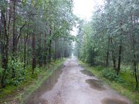
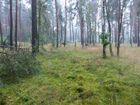
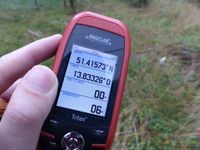
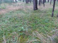
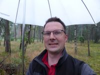
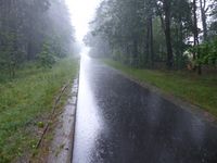
I knew that the weather forecast promised strong rain, but at that time, it was just a slight drizzle. I started walking along a forest road that went straight in the direction of the hashpoint. That road got worse after a while, tarmac changing to gravel. Gravel with large puddles from all the rain. Do you know what happens when there are puddles, i.e. standing water everywhere. Mosquitos happen. More and more of them, all hungry for the only large prey to come this way all day. I hurried up, trying to leave them behind me, but there were always more. I hurried along a smaller track, and when I got nearer to the hashpoint, I finally left all trails, although there was not much underbrush so it wasn't difficult. The hashpoint was not too difficult to find, I was near it at around quarter to 4 p.m. After I had found the spot, I had to wait until meetup time. The mosquitos caught up, so I had to do a few minutes of impromptu Schuhplattler. At 4 p.m. I took a last picture and fled the scene.
I took a different route on my way back to the car, heading for the edge of the forest and then following a track from there. This was the part where the rain got strongest, pouring down heavily. I was glad to have my umbrella, although I still got rather wet. When I reached the car, I was glad that I could change into dry socks, dry shoes and a dry shirt thanks to my preparations. I should have prepared dry pants as well... I drove onwards, past Ruhland to Lauchhammer, where I arrived in time to help set up the stage. Luckily our open-air concert was moved to a tiny church on short notice, so tiny that half of us had to perform from the gallery, but we could perform in a mostly dry manner. At least dry from above, there was still the high air humidity and our intense sweating from the heat. Apart from that, it was a nice concert. The almost 100 people in the audience managed to cram themselves into the other half of the tiny church, luckily the Covid numbers were low enough to allow that.
There were mosquitos on the expedition as mentioned above, but there were also some outside the church of the first concert, at least three in the motel room in Lauchhammer, and a few at the concert in Ortrand. I lost count after 15 bites.
|
tracklog
will follow
