2009-04-06 -33 149
| Mon 6 Apr 2009 in Bathurst: -33.5244461, 149.6092461 geohashing.info google osm bing/os kml crox |
Contents
Location
The hash fell on private property downstream from Ben Chifley Dam.
Attendees
Report
This was the third closest hashpoint to Bathurst since geohashing began, and the first chance I had to ride to one that didn't involve a fuckload of hills. Or at least, I thought it would be easy.
After sleeping in till 12, I realised I'd have to embark for the hash after class. Thankfully, I thought this would still give me enough time to get back before dark since it was only 10km from my house. I left at 5pm with the aim of getting back at 6pm. Turns out I didn't account for mother nature and didn't look at the contour graph properly.
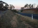
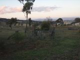
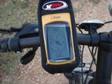
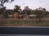
The first 5km were perfectly straight and level with a 4km/h headwind, that took 15 minutes. The next 5km were uphill, and I averaged a whopping 10km/h (Setting numerous speed records and getting a ticket or two along the way...) until I was 1km from the hash. A 500 metre descent followed, unfortunately I went past the driveway I was meant to turn off to approach the hash, so I had to ride back uphill and go down the dirt road that runs parallel to the main road. 400m from the hash however, I hit a snag. My GPS was telling me that the hash fell on private land, and since two properties were right next to each other I wasn't sure who to ask. I decided to call it quits however as I didn't want to walk up to someones door and ask for permission to enter their property if before I even got to their door I had already trespassed, so I went back home.
Total time elapsed: 1:30
Total distance traveled: 27km
