Location
This should be off shore in the lake Werbeliner See. It was still in the process of flooding when the google satellite picture was taken
Participants
Plans
Reinhard got a brand-new inflatable boat on his recent birthday that wants to be taken out onto the water! Reinhard will drive to Manu in Leipzig after work and together they'll try to reach the hashpoint. Hopefully, it's accessible.
Expedition
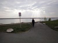
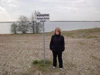
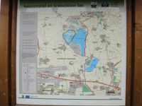
Everything went as planned (Reinhard drove to Manu, together they drove on to Werbeliner See.) until they saw the no trespassing signs on the shoreline of the lake. Obviously reshaping of the area which formerly was an open cast mining and shall become a recreation area in the near future wasn't ready yet.
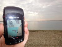
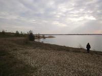
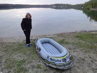
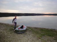
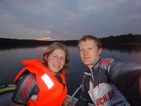
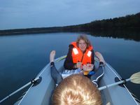
Manu and Reinhard dismissed the plan of geohashing, standing at the shore about 300 m from the hashpoint. They wanted some fun with the boat anyway, so they drove 5 km south to Schladitzer See. Reinhard didn't like that beach at all, so they decided to get to Ammelshainer See (Mortizsee), which is close to the popular Naunhofer See, instead. There they finally inflated the boat and had an idyllic boat trip of 2 km during sunset.
Photos
| Mining area – trespassing prohibited.
|
| Inflation in progress at Ammelshainer See.
|
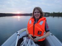
| Manu liked the lifevest for keeping her warm.
|
|
