2014-07-12 49 9
| Sat 12 Jul 2014 in Würzburg: 49.7788637, 9.8703109 geohashing.info google osm bing/os kml crox |
Location
Today's location is on private property in a residential area in Höchberg, near Würzburg.
Country: Germany; state: Bayern (Bavaria, EU:DE:BY); district: Würzburg rural district
Expedition
Danatar
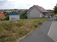
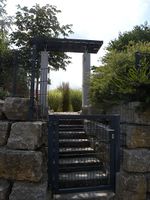
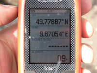
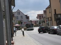
I was in Würzburg and the hashpoint was very near. Without my bike, which is in Dresden, and not wanting to use the car, I had the choice between walking and taking the bus. The distance was a bit much for walking in the limited time that I had, so I decided to take the bus. First I had to walk to the Sanderring bus stop where the bus 17 starts, then after a short bus ride I arrived at Höchberg. I walked for a short while towards the hashpoint, getting nearer and nearer. Already on the bus I had noticed that the GPS showed my location about 50 meters further north that it really was, this was still the case about 50 meters from the hashpoint's coordinates. When I had about 20 meters to go and I already could see an empty meadow in that direction, the GPS suddenly realized its error. As I had already feared, the GM satellite image was out of date. The satellite view showed a developed area with finished roads, only a few houses, and the hashpoint in an empty area. But in reality most of those areas had been replaced by houses and now the hashpoint was in one of the gardens. I walked around those houses, but there was nothing I could do. Then I waited the last 5 minutes until 4 p.m., hoping that another geohasher would arrive so that we could have a successful Saturday meetup, but nobody came. So I walked back to the bus stop, took the return bus and walked to my appartment. In total, I walked 4.9 km.
|
tracklog
Triton tracklog First half of the track is too far north


