2015-04-27 51 13
| Mon 27 Apr 2015 in Dresden: 51.1560849, 13.7623287 geohashing.info google osm bing/os kml crox |
Location
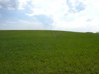
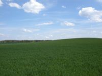
Today's location is in a field with young plants at the northern city limit of Dresden. The next field over already belongs to Radeburg in the Meißen district.
Country: Germany; state: Sachsen (Saxony, EU:DE:SN); district: Dresden; Ortschaft: Weixdorf.
Weather: sunny
Expedition
Danatar
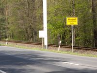
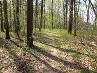
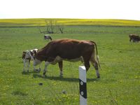
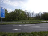
The distance to this hashpoint from my home was such that it would make for an okay bicycle trip. My route went across the Waldschlösschen bridge, then along Stauffenbergallee and Königsbrücker Straße until Klotzsche, same as during 2014-06-01 51 13. This time the mediocre pavement at Königsbrücker Straße didn't feel as bad though. From Klotzsche I continued straight ahead until I was in Weixdorf. When I was already on the road that led to the hashpoint I took a wrong turn (following the traffic routing instead of going straight ahead along the then smaller road). As I was still trying to do a tron route I didn't want to turn around, so I continued until I came to the next side street... which I promptly missed because of my GPS unit's outdated map. The next expected side track didn't exist and the one after that, which should lead through a forest, I couldn't find. The side road that I did find turned out to be a dead end or, more exactly, there was a road but it led through private property. So I abandoned the tron attempt 2.4 km after the wrong turn and cycled back. While coming to the area where one of the side tracks that I had missed before should start I saw a tiny path, much smaller than expected, so I followed that to save some kilometers. Cycling along that track was a bit difficult, but I finally reached the original road again. After cycling past a pasture with cows, where the only calf was watching me attentively, I reached the hashfield. I had to discover that there were young corn plants on it and there were no tire tracks to walk along without damaging the plants. So I started on my way back. Because the track directly along the field that I had planned on taking had a sign reading "Autobahn underpass closed" I took the track on the other side of the field. That one went past the airport, so I took a glimpse at the 2014-06-01 hashpoint while passing it. Then I whizzed along the B170 federal road (reaching more than 50 km/h before I was stopped by a traffic light turning red) until I came to the "Neustadt", from where it was back across the Waldschlösschen bridge and home.
|
