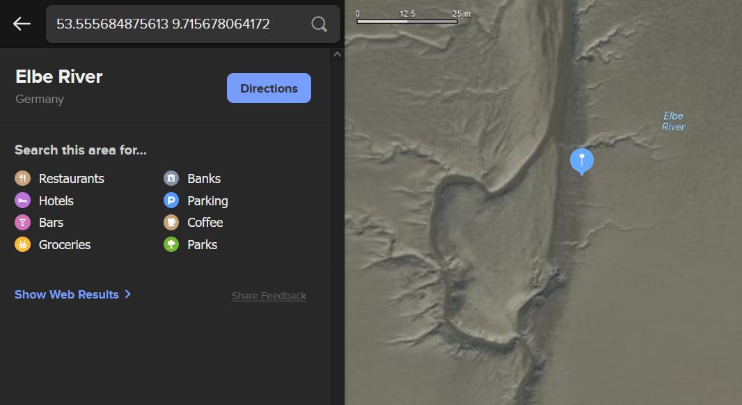
File:1998-01-04 53 9 - Screenshot Satellite DDG Map.png
From Geohashing
Size of this preview: 800 × 437 pixels. Other resolutions: 320 × 175 pixels | 1,066 × 582 pixels.
Original file (1,066 × 582 pixels, file size: 293 KB, MIME type: image/png)
Screenshot of the satellite map of 1998-01-04 53 9.
File history
Click on a date/time to view the file as it appeared at that time.
| Date/Time | Thumbnail | Dimensions | User | Comment | |
|---|---|---|---|---|---|
| current | 21:31, 5 July 2023 | | 1,066 × 582 (293 KB) | Rsge (talk | contribs) |
- You cannot overwrite this file.
File usage
The following page links to this file: