File:2009-06-14 the end.jpg
From Geohashing
No higher resolution available.
2009-06-14_the_end.jpg (800 × 533 pixels, file size: 539 KB, MIME type: image/jpeg)
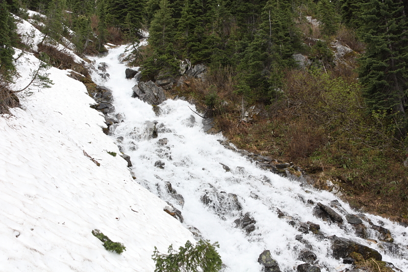
This was the closest I came to the coordinates. As I've become accustomed to, the photo does not communicate the steep grade, or complete isolation of the area.
File history
Click on a date/time to view the file as it appeared at that time.
| Date/Time | Thumbnail | Dimensions | User | Comment | |
|---|---|---|---|---|---|
| current | 17:24, 30 January 2020 | | 800 × 533 (539 KB) | Maintenance script (talk | contribs) |
- You cannot overwrite this file.
File usage
The following 5 pages link to this file: