File:2012-03-27 53 -3.jpg
From Geohashing
Size of this preview: 800 × 450 pixels. Other resolution: 320 × 180 pixels.
Original file (3,264 × 1,836 pixels, file size: 755 KB, MIME type: image/jpeg)
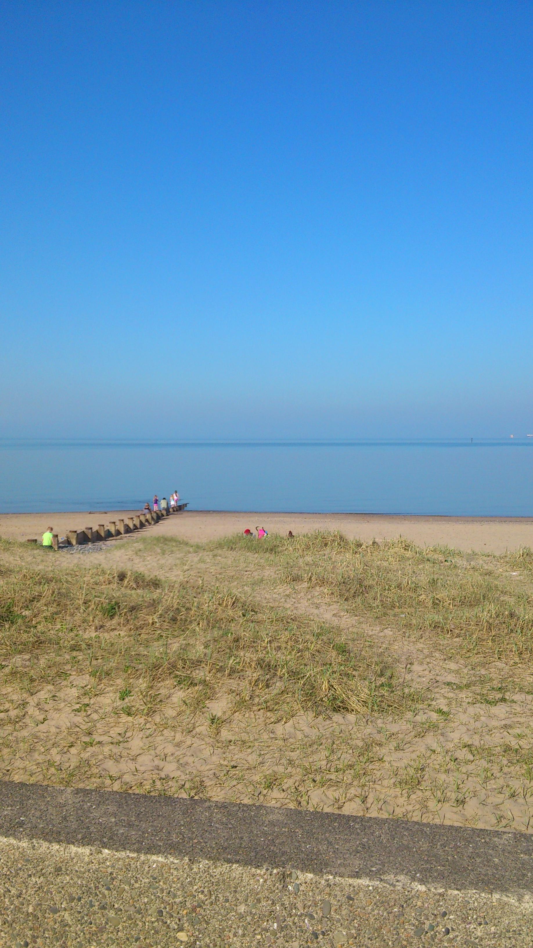
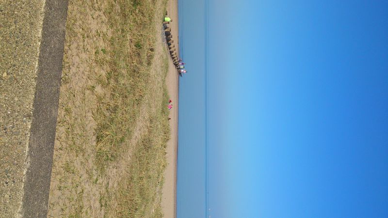
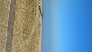
Due to software error and stupidity (using the Geohash Droid app when his phone was already in the progess of crashing and glitching horribly), Angel thought 2012-03-27 53 -3 was on the beach at Fleetwood. As far as I can tell when I got there, the actual coordinates were some distance out to sea. This was about as close as I could get.
File history
Click on a date/time to view the file as it appeared at that time.
| Date/Time | Thumbnail | Dimensions | User | Comment | |
|---|---|---|---|---|---|
| current | 16:45, 30 January 2020 | | 3,264 × 1,836 (755 KB) | Maintenance script (talk | contribs) |
- You cannot overwrite this file.
File usage
The following 2 pages link to this file: