File:2012 03 12 43 -2 map.jpg
From Geohashing
Size of this preview: 424 × 600 pixels. Other resolutions: 169 × 240 pixels | 1,191 × 1,685 pixels.
Original file (1,191 × 1,685 pixels, file size: 482 KB, MIME type: image/jpeg)
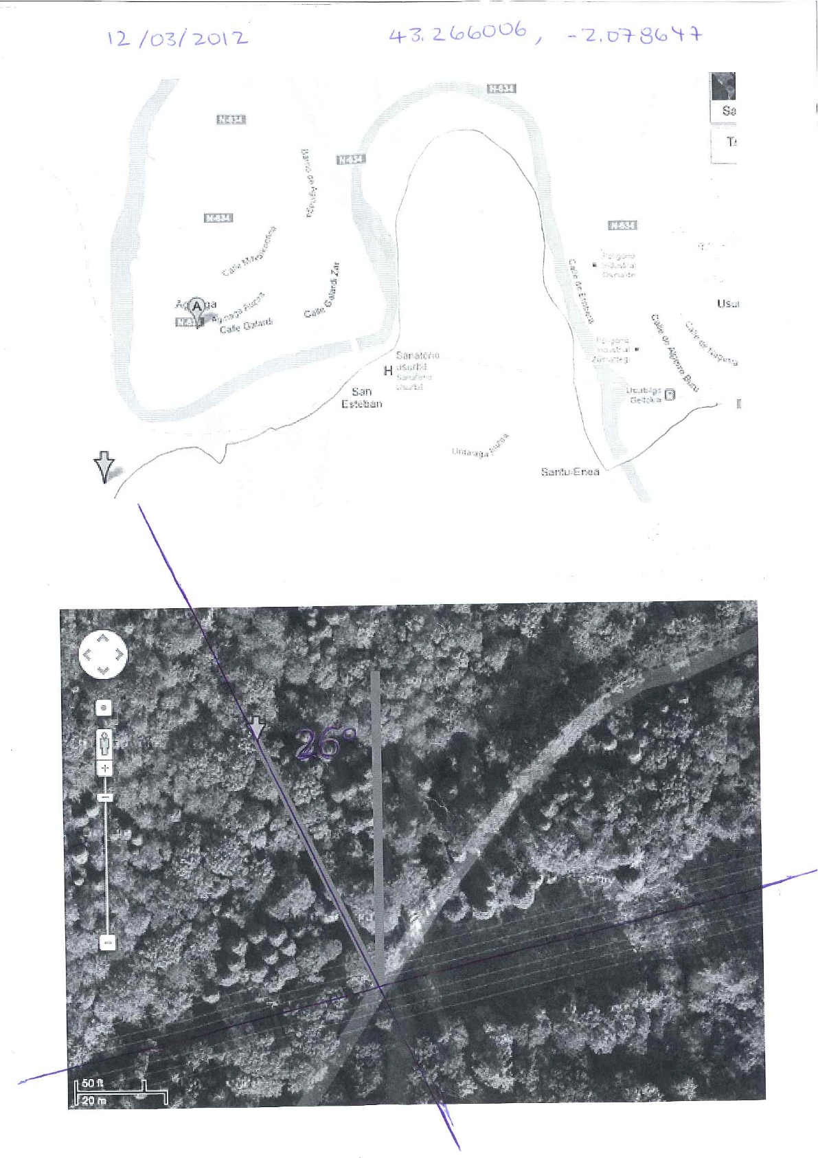
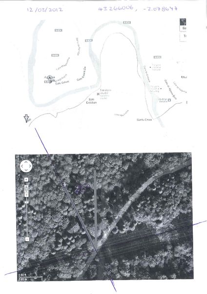
My map, showing the high tension power lines crossing the path. When I was directly under the power lines, I ventured NNW into the forest...
File history
Click on a date/time to view the file as it appeared at that time.
| Date/Time | Thumbnail | Dimensions | User | Comment | |
|---|---|---|---|---|---|
| current | 15:16, 30 January 2020 | | 1,191 × 1,685 (482 KB) | Maintenance script (talk | contribs) |
- You cannot overwrite this file.
File usage
The following page links to this file: