File:2013-05-04 39 -77 16-36-00-991.jpg
From Geohashing
No higher resolution available.
2013-05-04_39_-77_16-36-00-991.jpg (800 × 451 pixels, file size: 55 KB, MIME type: image/jpeg)
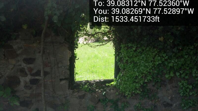
The burned house from the inside @39.0827,-77.5290
File history
Click on a date/time to view the file as it appeared at that time.
| Date/Time | Thumbnail | Dimensions | User | Comment | |
|---|---|---|---|---|---|
| current | 15:59, 30 January 2020 | | 800 × 451 (55 KB) | Maintenance script (talk | contribs) |
- You cannot overwrite this file.
File usage
The following page links to this file: