File:2024-04-14 -37 145 Gimcrack 1713092262946.jpg
From Geohashing

Size of this preview: 270 × 600 pixels. Other resolutions: 108 × 240 pixels | 360 × 800 pixels.
Original file (360 × 800 pixels, file size: 25 KB, MIME type: image/jpeg)
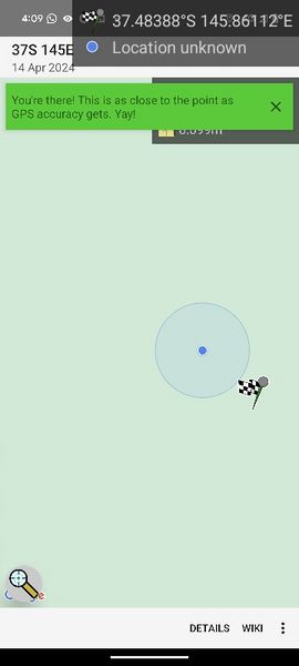
75 m from Upper Taggerty Rd, Lake Mountain
File history
Click on a date/time to view the file as it appeared at that time.
| Date/Time | Thumbnail | Dimensions | User | Comment | |
|---|---|---|---|---|---|
| current | 10:57, 14 April 2024 | | 360 × 800 (25 KB) | Gimcrack (talk | contribs) | 75 m from Upper Taggerty Rd, Lake Mountain Category:Meetup on 2024-04-14 Category:Meetup in -37 145 |
- You cannot overwrite this file.
File usage
The following page links to this file: