File:Bump-sat.jpg
From Geohashing
Error creating thumbnail: Unable to save thumbnail to destination
Other resolution: 850 × 600 pixels.
Original file (850 × 600 pixels, file size: 141 KB, MIME type: image/jpeg)
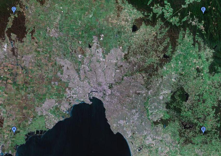
A revision of the Melbourne Graticule centering it closer to the CBD, and halving its height. Roughly 1/16th of this half- graticule is over water. Coords are -37.5 144.5, -37.5 145.5, -38 144.5, -38 144.5 .
File history
Click on a date/time to view the file as it appeared at that time.
| Date/Time | Thumbnail | Dimensions | User | Comment | |
|---|---|---|---|---|---|
| current | 16:14, 30 January 2020 | Error creating thumbnail: Unable to save thumbnail to destination | 850 × 600 (141 KB) | Maintenance script (talk | contribs) |
- You cannot overwrite this file.
File usage
The following page links to this file: