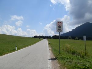
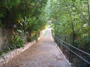
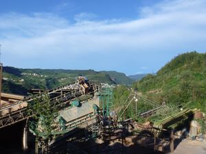
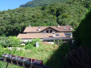
I thought I'd publish a report on my geohashing activity during this year; it's a pretty cool thing professionals do, makes me feel important and also I had nothing better to do anyways. Also, what's better than publishing stats for a stats geek? Of course, I'd like to do this on an annual basis, and am assuming I won't get tired of geohashing before the end of next year. I would encourage anyone who has some time to waste to do something like this too!
Contents
[hide]Introduction
I came to discover geohashing on the 12th of August and luckily there was a reachable hash the very next day- 2012-08-13 was thus the day of my first geohash.
I did various expeditions during the summer, but once school started again, my free time diminished, to the point I had a long three-months-no-geohashing-season between September and December.
Geohashing has been a fulfilling experience and it brought me to places I had never been to before, this is the reason why I am planning to keep doing this the upcoming year too! Hopefully I will be able to bring friends with me- so far I have always hashed alone, though I introduced some friends to the concept of our activity and they looked interested in it. Meeting people from other graticules would be equally great- I could think of crossing the border once or twice and visit München graticule once I get my driver's license.
2012 expeditions
During this year I planned eight expeditions, attempted seven expeditions and reached six hashpoints. I will only consider the seven expeditions I planned for stats and stuff. Here is a table:
| No. | Date | Location | Graticule | Coordinates | Outcome |
|---|---|---|---|---|---|
| 1 | 2012-08-13 | Mt. Bondone, Trento | Trento, Italy | 46.01727°, 11.043938° | Coordinates reached, no proof provided |
| 2 | 2012-08-24 | Laste, Trento | Trento, Italy | 46.07424°, 11.134666° | Coordinates reached, no proof provided |
| 3 | 2012-08-26 | Gazzadina, Trento | Trento, Italy | 46.145747°, 11.129721° | Coordinates reached |
| 4 | 2012-08-27 | Egna/Neumarkt, Bolzano/Bozen | Trento, Italy | 46.307353°, 11.267118° | Coordinates not reached |
| 5 | 2012-09-02 | Dro, Trento | Verona, Italy | 45.96997°, 10.918987° | Coordinates reached |
| 6 | 2012-09-20 | Albaredo, Trento | Padova, Italy | 45.855778°, 11.062447° | Coordinates reached |
| 7 | 2012-12-29 | Banco, Trento | Trento, Italy | 46.380787°, 11.071914° | Coordinates reached |
Activity by month and graticule
| Trento, Italy | Verona, Italy | Padova, Italy | Total | |
|---|---|---|---|---|
| August | 4 | 4 | ||
| September | 1 | 1 | 2 | |
| October | 0 | |||
| November | 0 | |||
| December | 1 | 1 | ||
| Total | 5 | 1 | 1 | 7 |
Various stats
- All the expeditions took place in the same Italian region (Trentino-Alto Adige/Südtirol).
- All expeditions but number 4 took place in the province of Trentino. Number 4 took place in South Tyrol. I have thus visited both the provinces that make up my region, but have only reached hashes in Trentino (I failed to reach my coordinates in Egna)
- Municipalities visited: 4
- Trento on expeditions 1, 2 and 3
- Egna/Neumarkt on expedition 4
- Dro on expedition 5
- Vallarsa on expedition 6
- Sanzeno on expedition 7
- All expedition but number 2 were done with public transport. I reached hashpoint number 2 by walking. The means I used:
- On expeditions 1, 4, 5, 6 and 7: intercity buses (specifically lines 202, 104, 205, 301, 314 and 630)
- On expedition 3, and as a mean between home and the main bus stations: Trento city buses (specifically lines 3 and 10)
- On expedition 7 I took the narrow-gauge FTM railway.
- All these means are operated by the same public company, that is Trentino Trasporti.
Records
- Northernmost geohash: Expedition 7 to Banco.
- Southernmost geohash: Expedition 6 to Albaredo.
- Westernmost geohash: Expedition 5 to Dro.
- Easternmost geohash: Expedition 2 to Laste.
- Highest geohash: Expedition 1 to Mt.Bondone (1566 m)
- Lowest geohash: Expedition 5 to Dro (142 m)
I only counted the destinations I reached.
Awards
- Best expedition of the year: both number 3 and 6 are my favourite ones, but I'd go for number 3.
- Best food I had during an expedition: undecided again between the ice cream I had in Rovereto (expedition 6) and the sandwich I had in Dermulo (expedition 7). Both were pretty good. The second one tasted like victory, also.
- Best bus driver: the bus driver listening to new age music on my way to Albaredo, expedition 6.
- Best person I met while geohashing: guy on the coach coming back from Dro, expedition 5.
- Best random thing that happened to me while geohashing: Finding abandoned panties on the ground on expedition 2
- Best moment: Getting on the train knowing you made it to the station and that was the most difficult thing (expedition 7)
- Worst moment: Getting down the bus in Egna just to discover you forgot your coordinates and your map home, and not being able to find any Wi-Fi hotspot.
- Best places I've been to: The road between the bus stop and the hashpoint on expedition 3 was absolutely fantastic, but that was partly because of the weather. Albaredo and the area around Banco were fairly gorgeous too.
New year resolutions
- Reach at least 30 geohashes. I know I can do more. But 30 seems fair enough.
- Reach a geohash outside Trentino. I almost did that, shouldn't be too much of a deal.
- Reach geohashes in at least two new graticules.
- Drag at least three different people to geohashes.
- Reach geohashes in at least 20 Trentino municipalities. (4 so far)
- Use at least 25 public transport lines (9 so far)
- Use at least 3 different trainsets (1 so far), 15 city buses (5 so far), 35 intercity buses (10 so far)
- Achieve any fun ribbon (eg. Pirate, Twister).
- Get a girlfriend (this has nothing to do with geohashing, but I sort of should anyways)
Thank you for reading this, and have a nice 2013 everyone!
