File list
From Geohashing
This special page shows all uploaded files.
| Date | Name | Thumbnail | Size | Description | Versions |
|---|---|---|---|---|---|
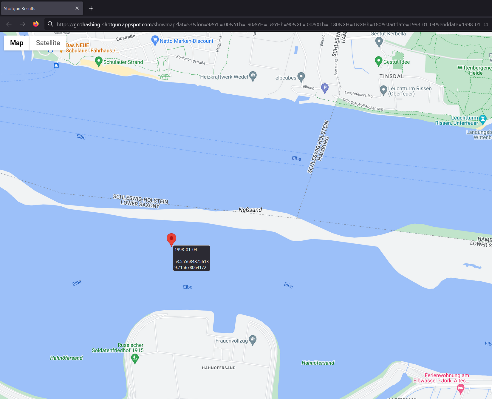
| 21:27, 5 July 2023 | 1998-01-04 53 9 - Screenshot Shotgun.png (file) |  |
734 KB | 1 | |
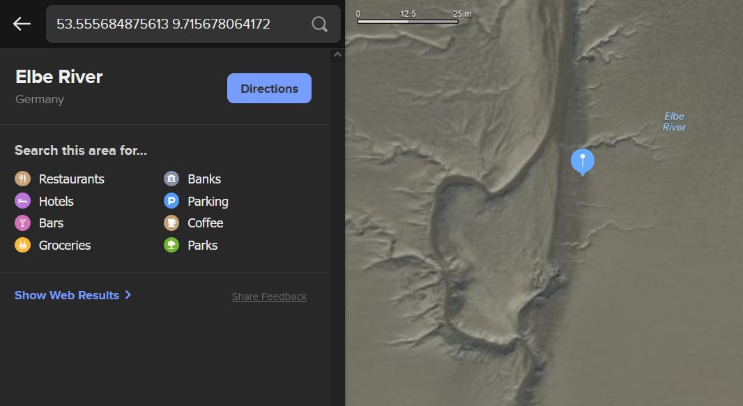
| 21:31, 5 July 2023 | 1998-01-04 53 9 - Screenshot Satellite DDG Map.png (file) |  |
293 KB | 1 | |
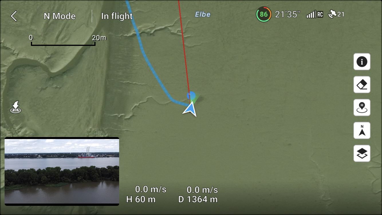
| 21:35, 5 July 2023 | 1998-01-04 53 9 - Screenshot DJI Fly Drone at position.png (file) |  |
3.05 MB | 1 | |
| 21:37, 5 July 2023 | 1998-01-04 53 9 - Screenshot drone path.png (file) |  |
3.43 MB | 1 | |
| 21:39, 5 July 2023 | 1998-01-04 53 9 - Straight down.jpg (file) |  |
4.55 MB | File uploaded with MsUpload | 1 |
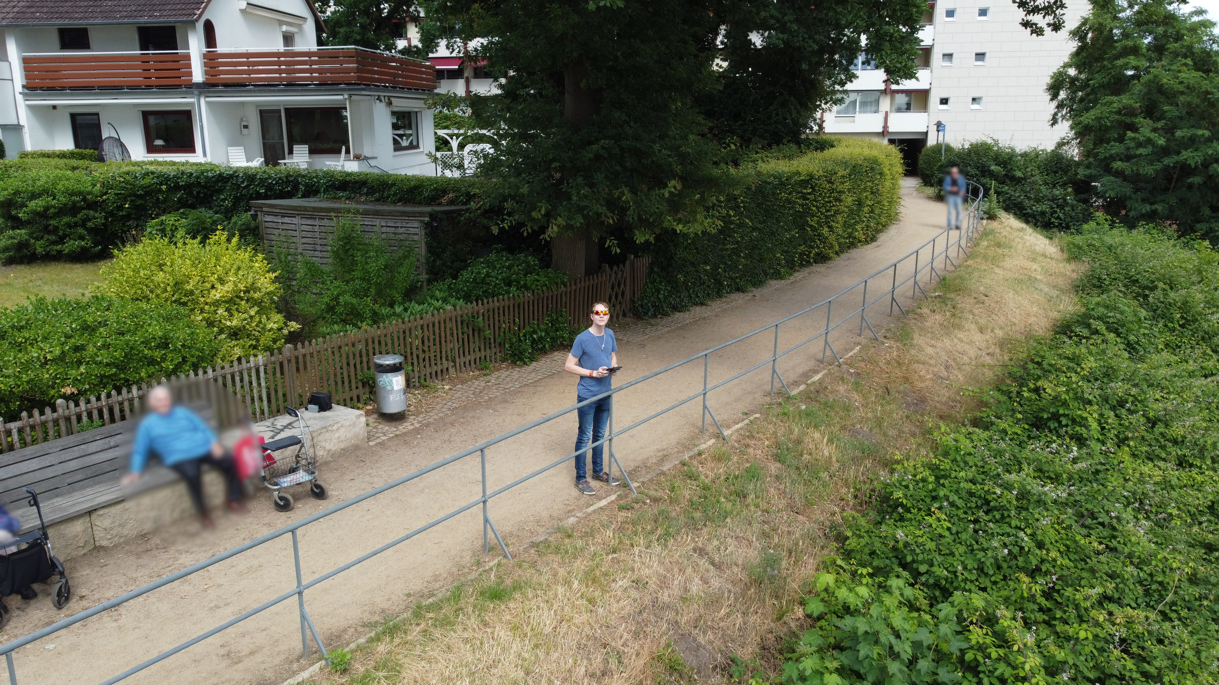
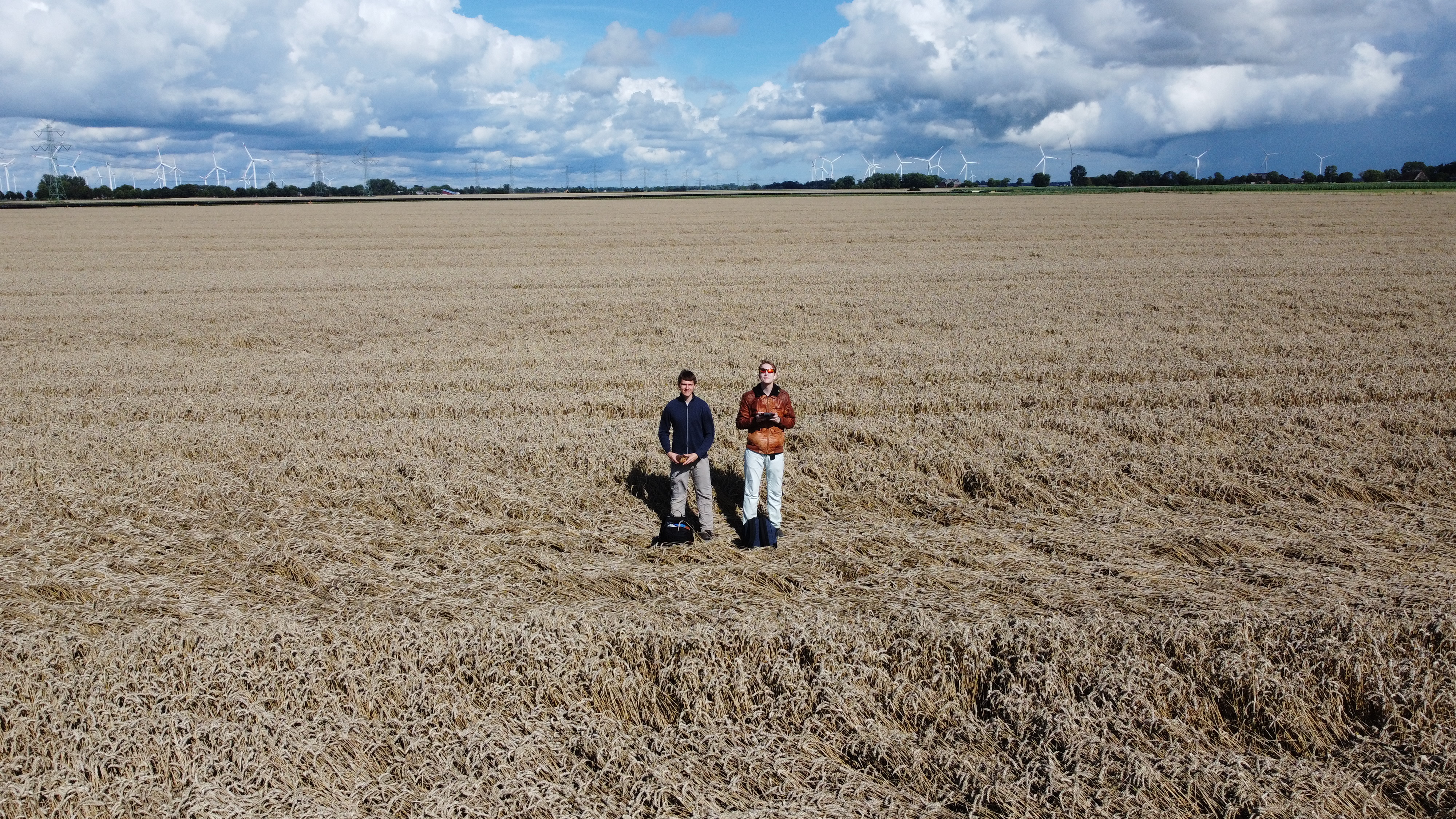
| 21:45, 5 July 2023 | 1998-01-04 53 9 - Rsge controlling the drone.jpg (file) |  |
3.6 MB | File uploaded with MsUpload | 1 |
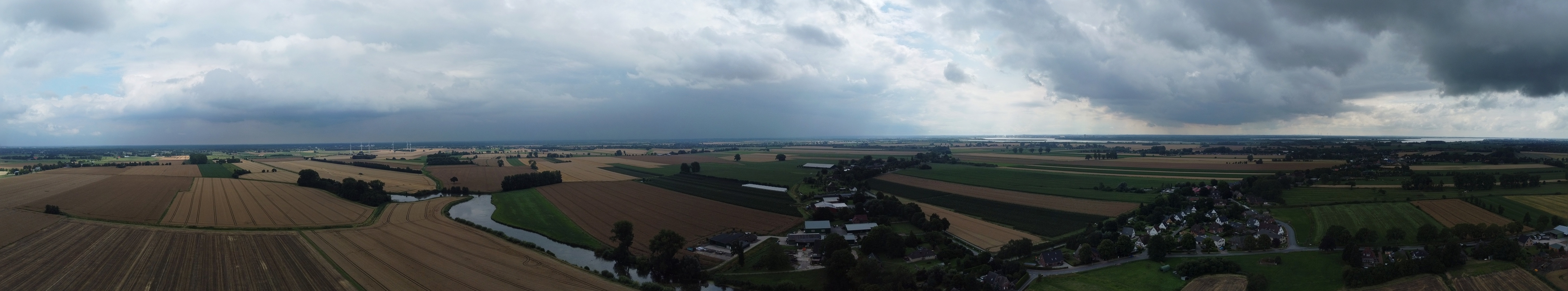
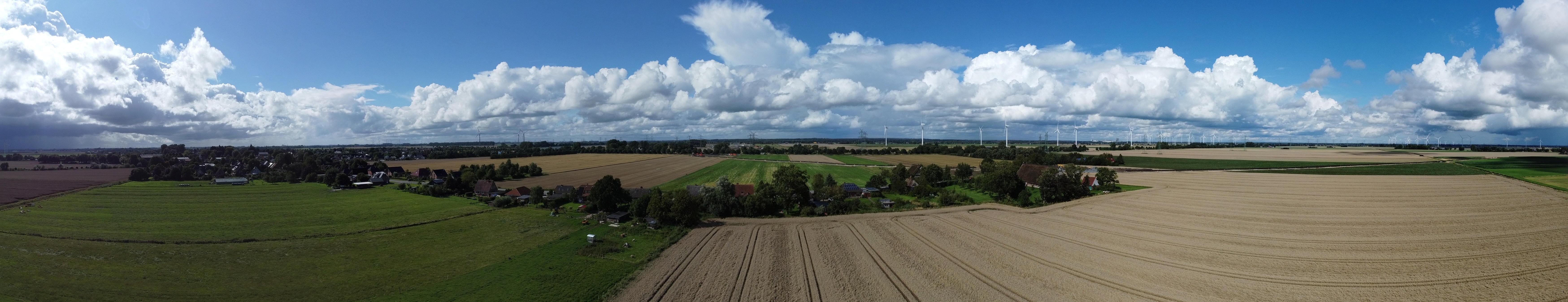
| 21:45, 5 July 2023 | 1998-01-04 53 9 - Pano North.jpg (file) | 3.94 MB | File uploaded with MsUpload | 1 | |
| 21:45, 5 July 2023 | 1998-01-04 53 9 - Pano from pilot's position.jpg (file) |  |
19.23 MB | File uploaded with MsUpload | 1 |
| 21:45, 5 July 2023 | 1998-01-04 53 9 - Photo of JVA peninsula.jpg (file) |  |
4.14 MB | File uploaded with MsUpload | 1 |
| 21:45, 5 July 2023 | 1998-01-04 53 9 - Photo of small harbour terminal.jpg (file) |  |
4.59 MB | File uploaded with MsUpload | 1 |
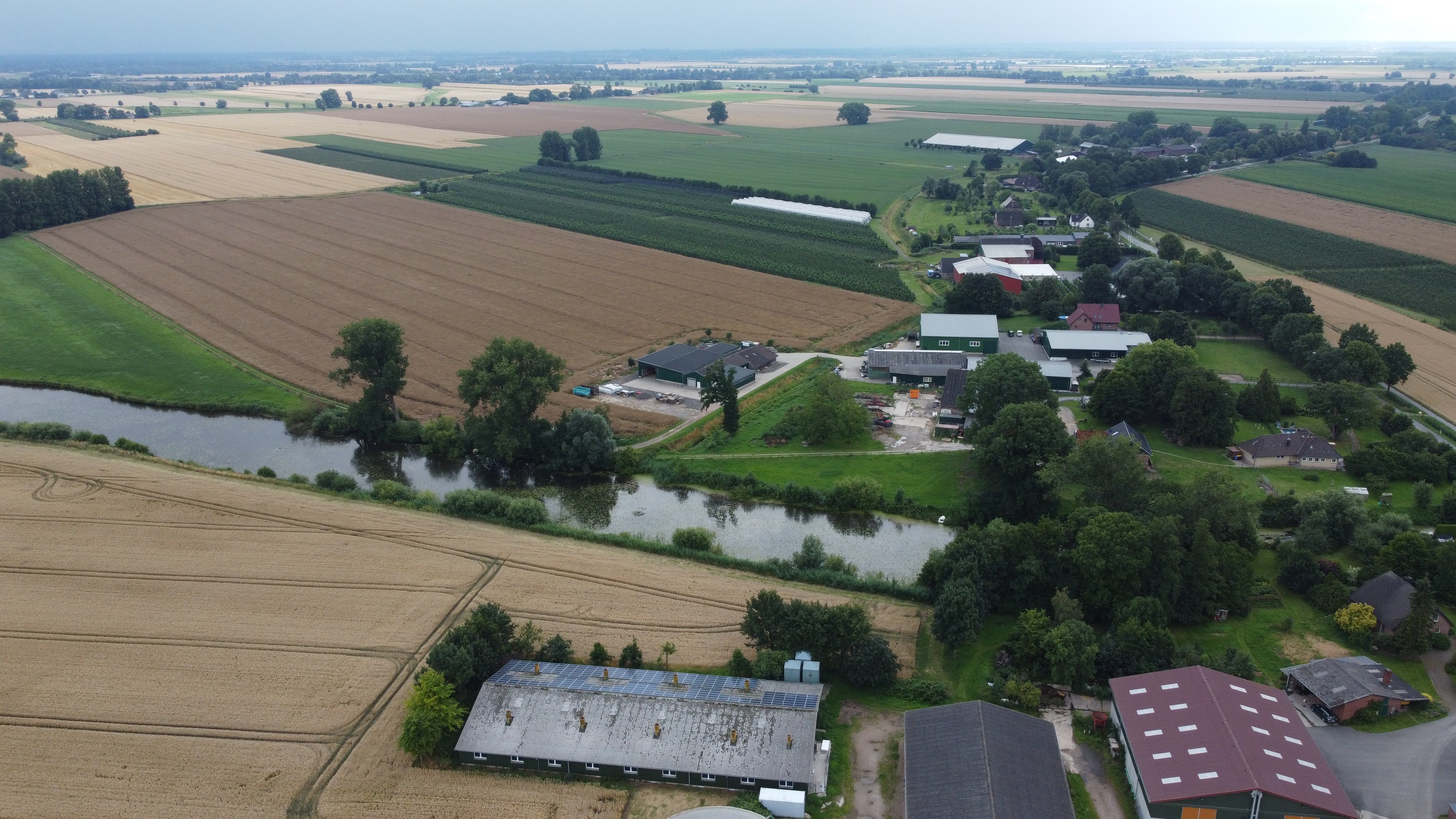
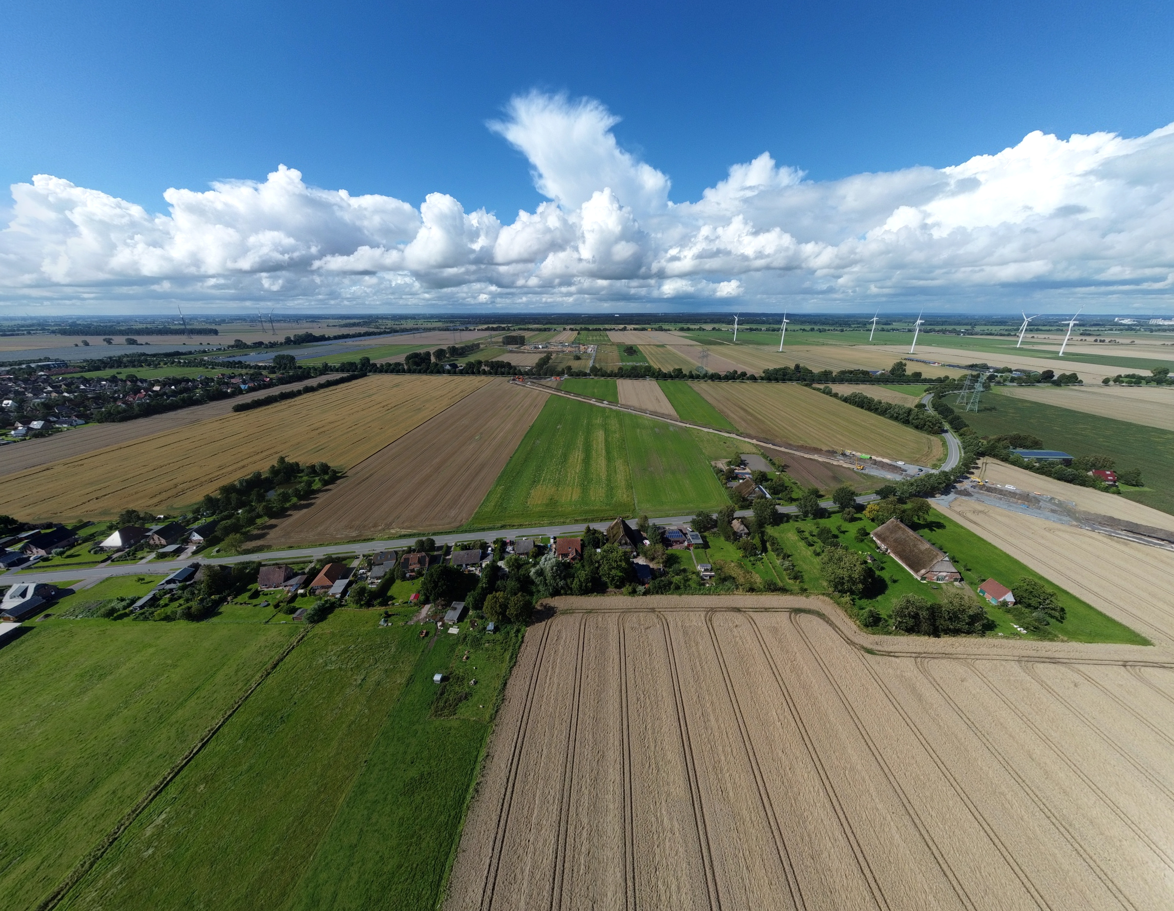
| 21:45, 5 July 2023 | 1998-01-04 53 9 - Photo of pilot's position.jpg (file) |  |
8.36 MB | File uploaded with MsUpload | 1 |
| 21:45, 5 July 2023 | 1998-01-04 53 9 - Pano South.jpg (file) | 4.02 MB | File uploaded with MsUpload | 1 | |
| 21:46, 5 July 2023 | 1998-01-04 53 9 - Photo of Elbe river to the east.jpg (file) |  |
6.9 MB | File uploaded with MsUpload | 1 |
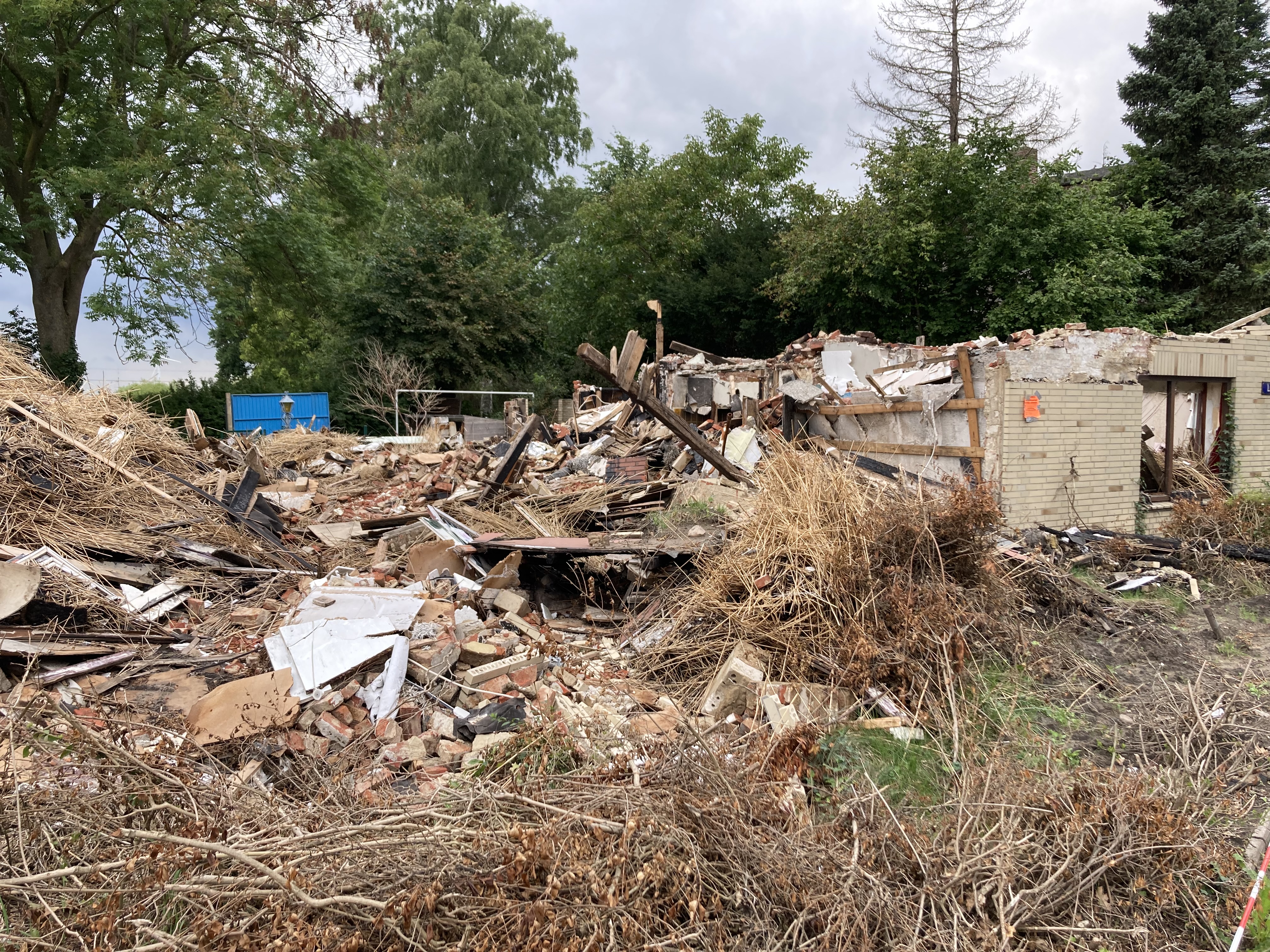
| 21:52, 19 July 2023 | 2023-07-19 53 9 - 01 On way - Broken down house.jpg (file) |  |
8.73 MB | File uploaded with MsUpload | 1 |
| 21:53, 19 July 2023 | 2023-07-19 53 9 - 02 On way - Pano of empty street .jpg (file) | 25.75 MB | File uploaded with MsUpload | 1 | |
| 21:53, 19 July 2023 | 2023-07-19 53 9 - 03 On way - Bike ride to hash.png (file) |  |
34 KB | File uploaded with MsUpload | 1 |
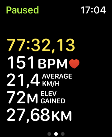
| 21:53, 19 July 2023 | 2023-07-19 53 9 - 04 GPS evidence.png (file) |  |
2.61 MB | File uploaded with MsUpload | 1 |
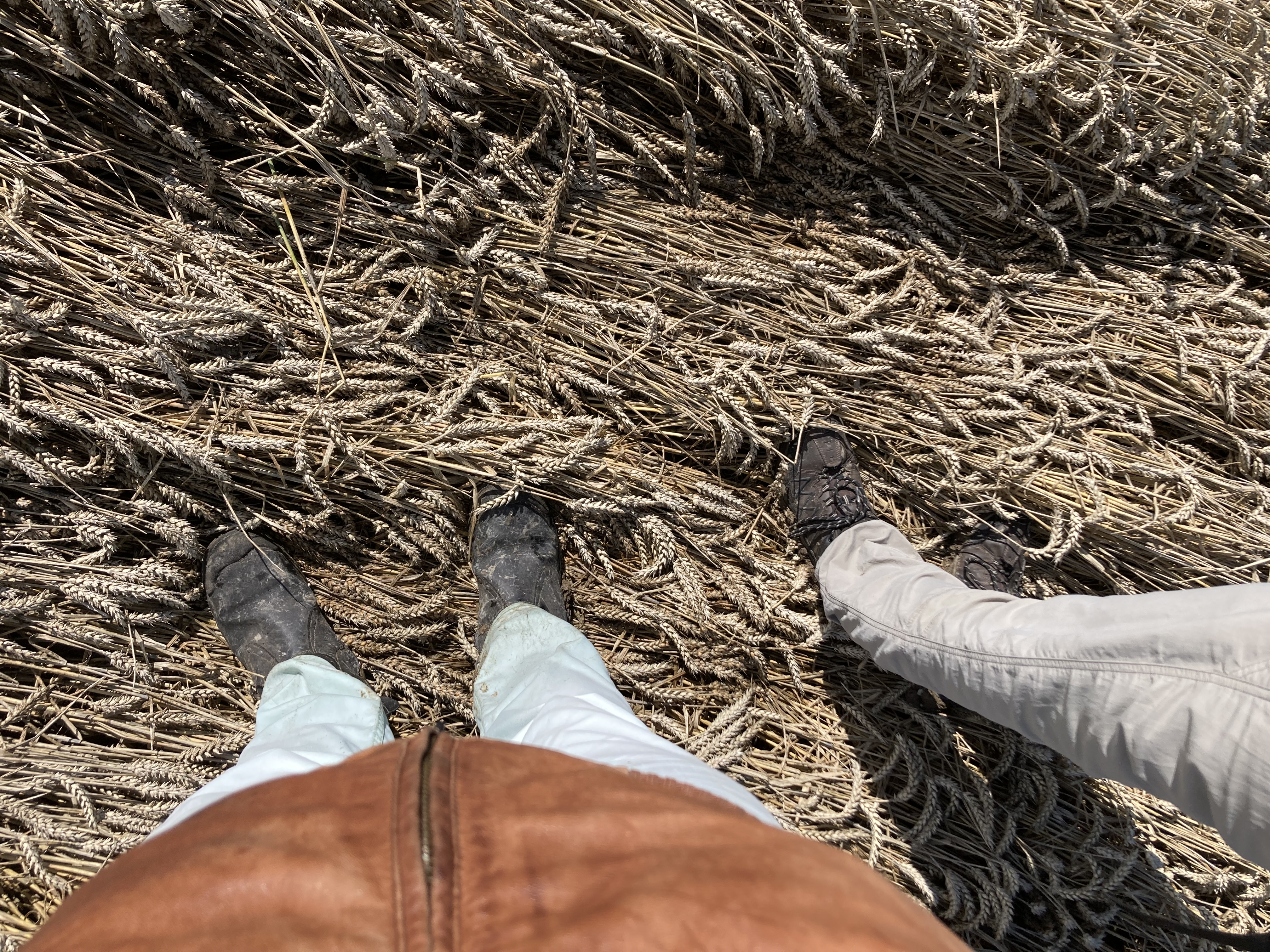
| 21:53, 19 July 2023 | 2023-07-19 53 9 - 05 Feet at hashpoint.jpg (file) |  |
5.55 MB | File uploaded with MsUpload | 1 |
| 21:53, 19 July 2023 | 2023-07-19 53 9 - 06 Marker on ground.jpg (file) |  |
4.78 MB | File uploaded with MsUpload | 1 |
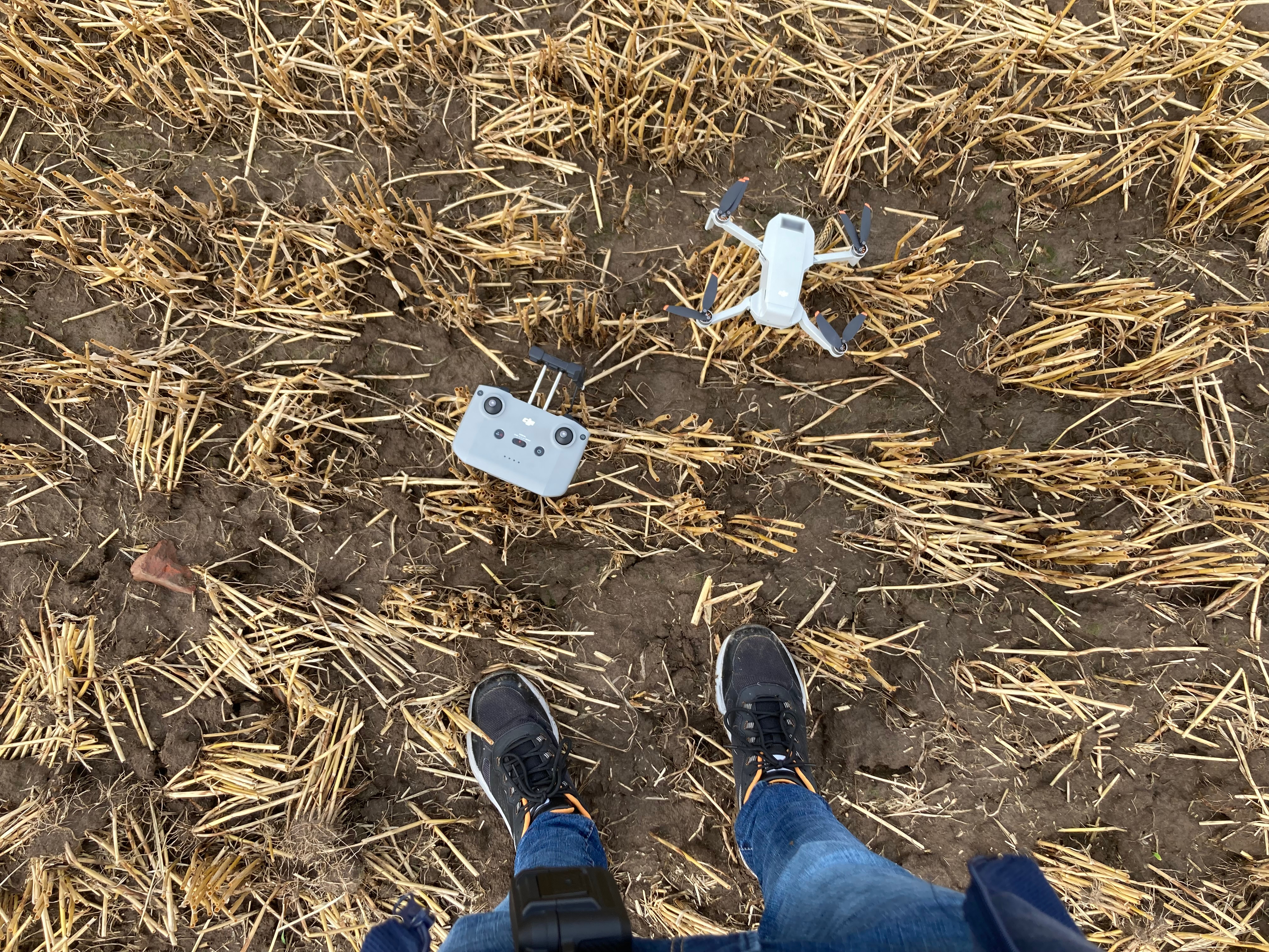
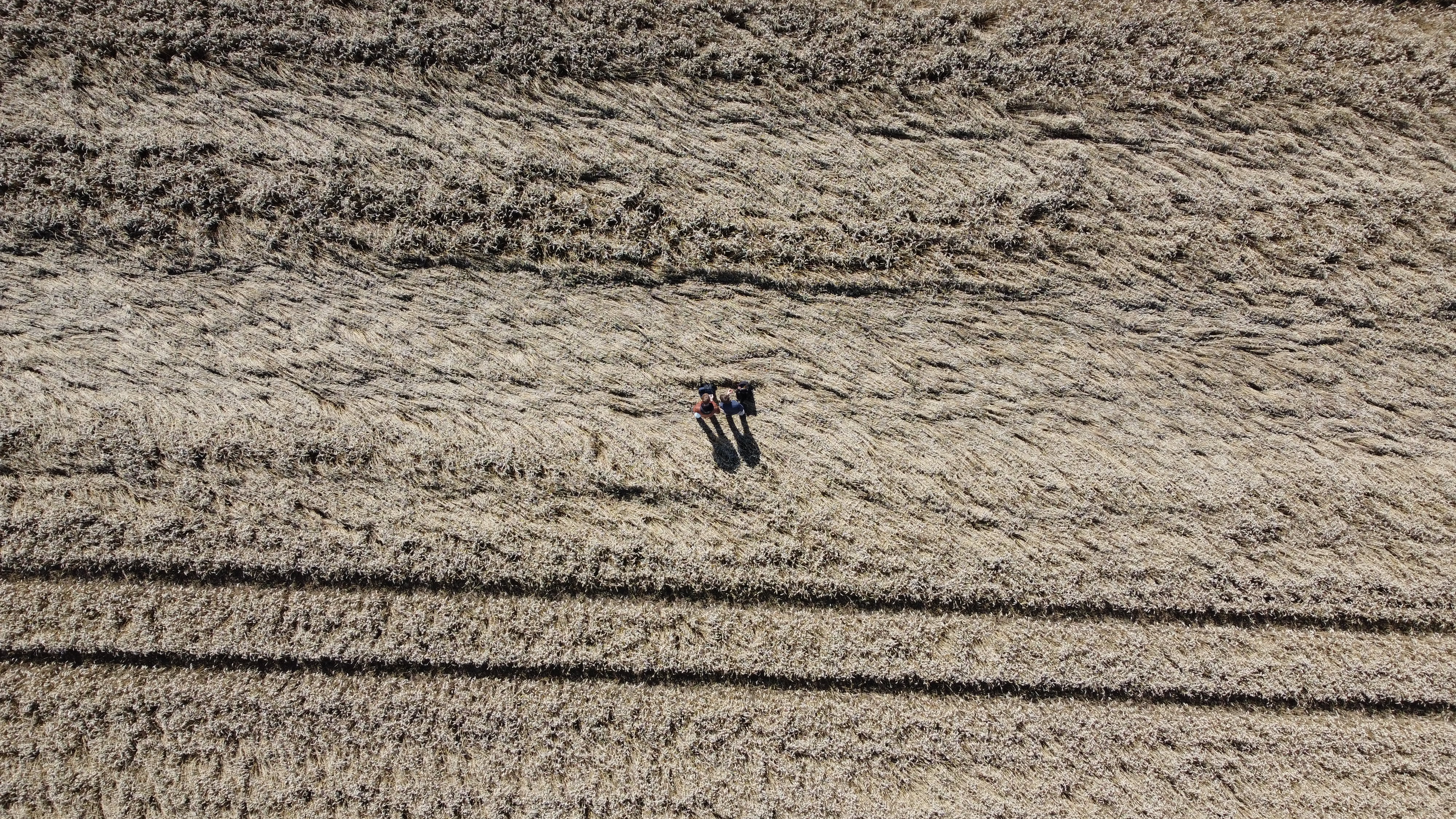
| 21:53, 19 July 2023 | 2023-07-19 53 9 - 07 Drone downwards.jpg (file) |  |
4.1 MB | File uploaded with MsUpload | 1 |
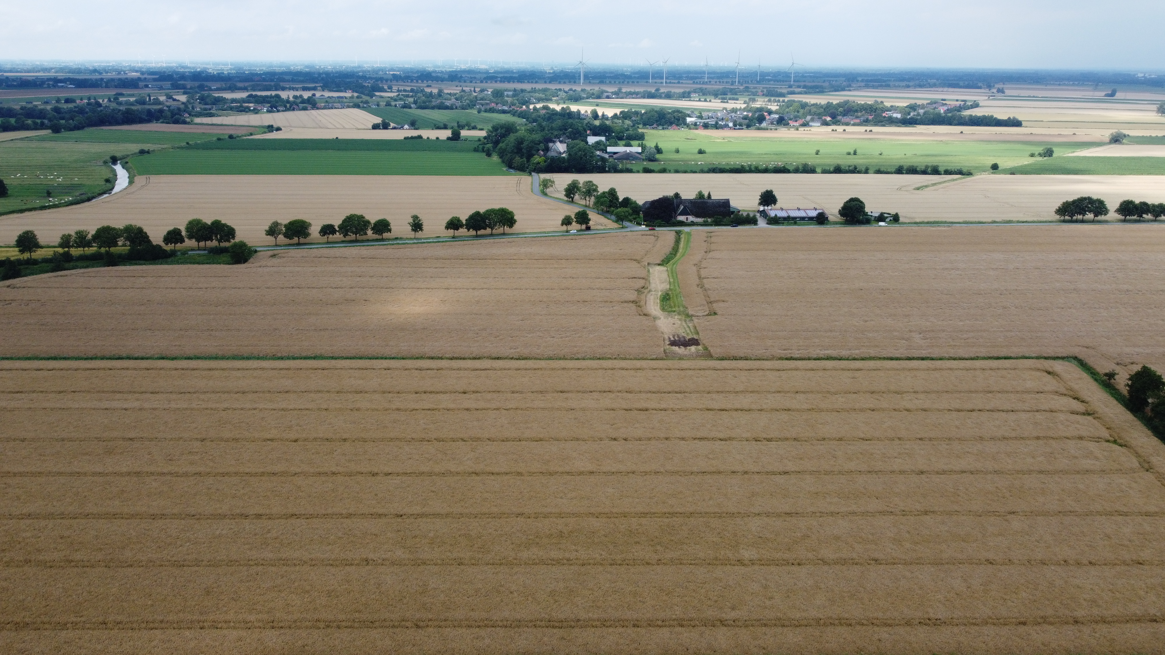
| 21:53, 19 July 2023 | 2023-07-19 53 9 - 08 Drone photo south low.jpg (file) |  |
3.96 MB | File uploaded with MsUpload | 1 |
| 21:53, 19 July 2023 | 2023-07-19 53 9 - 09 Drone photo north low.jpg (file) |  |
3.96 MB | File uploaded with MsUpload | 1 |
| 21:53, 19 July 2023 | 2023-07-19 53 9 - 10 Drone pano south high.jpg (file) | 3.85 MB | File uploaded with MsUpload | 1 | |
| 21:53, 19 July 2023 | 2023-07-19 53 9 - 11 Drone photo south high.jpg (file) |  |
4.26 MB | File uploaded with MsUpload | 1 |
| 21:53, 19 July 2023 | 2023-07-19 53 9 - 12 Drone pano north high.jpg (file) | 4.12 MB | File uploaded with MsUpload | 1 | |
| 21:53, 19 July 2023 | 2023-07-19 53 9 - 13 Drone photo north high.jpg (file) |  |
4.11 MB | File uploaded with MsUpload | 1 |
| 21:53, 19 July 2023 | 2023-07-19 53 9 - 14 Drone 360 °.jpg (file) |  |
4.65 MB | File uploaded with MsUpload | 1 |
| 21:53, 19 July 2023 | 2023-07-19 53 9 - 15 Rsge's bike before leave.jpg (file) |  |
8.44 MB | File uploaded with MsUpload | 1 |
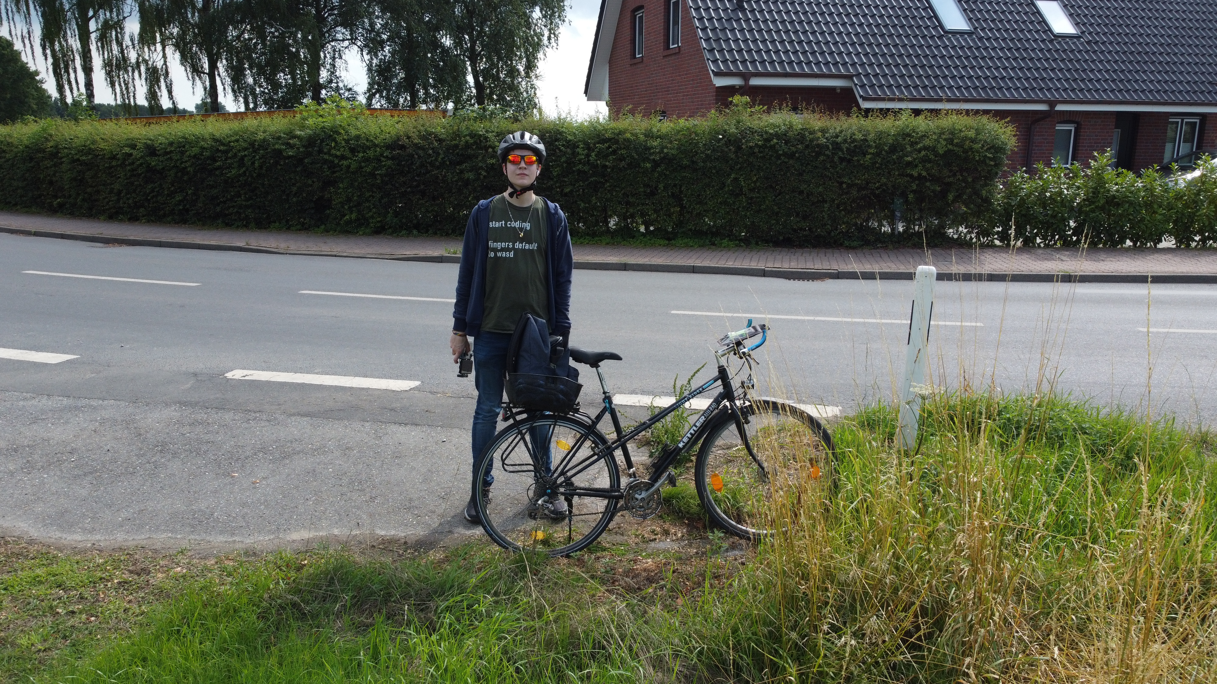
| 21:53, 19 July 2023 | 2023-07-19 53 9 - 16 Rsge before leave.jpg (file) |  |
4.15 MB | File uploaded with MsUpload | 1 |
| 21:53, 19 July 2023 | 2023-07-19 53 9 - 17 Bike ride back home.png (file) |  |
33 KB | File uploaded with MsUpload | 1 |
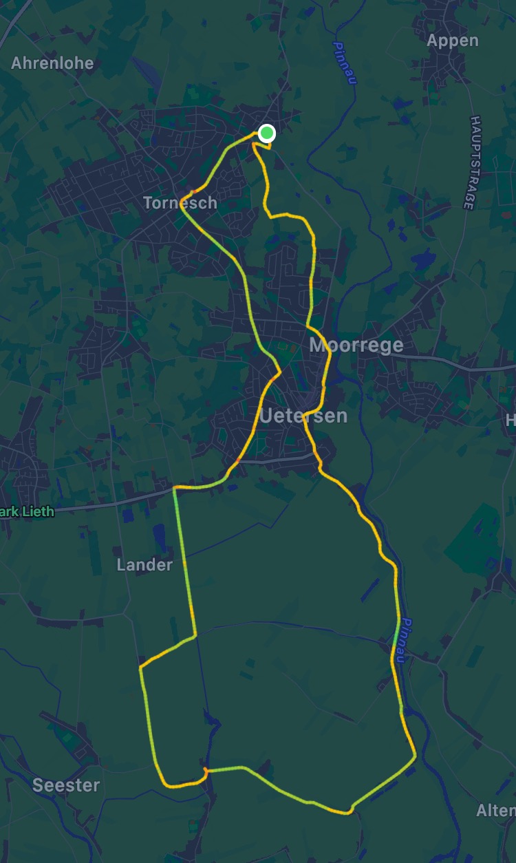
| 21:53, 19 July 2023 | 2023-07-19 53 9 - 18 Rsge's bike ride path.jpg (file) |  |
156 KB | File uploaded with MsUpload | 1 |
| 22:20, 19 July 2023 | 2023-07-19 53 9 - 19 Dirty soles.jpg (file) |  |
3.1 MB | Rotate 90 ° | 2 |
| 20:22, 1 August 2023 | 2023-07-19 53 9 GPS tracking log.gpx (file) | 1.17 MB | Better privacy | 1 | |
| 16:56, 2 August 2023 | 2023-08-01 53 9 - 01 On way - Tractor pathway.JPG (file) | 27.4 MB | File uploaded with MsUpload | 1 | |
| 16:56, 2 August 2023 | 2023-08-01 53 9 - 02 GPS evidence near.PNG (file) |  |
231 KB | File uploaded with MsUpload | 1 |
| 16:56, 2 August 2023 | 2023-08-01 53 9 - 03 GPS evidence far.JPG (file) |  |
315 KB | File uploaded with MsUpload | 1 |
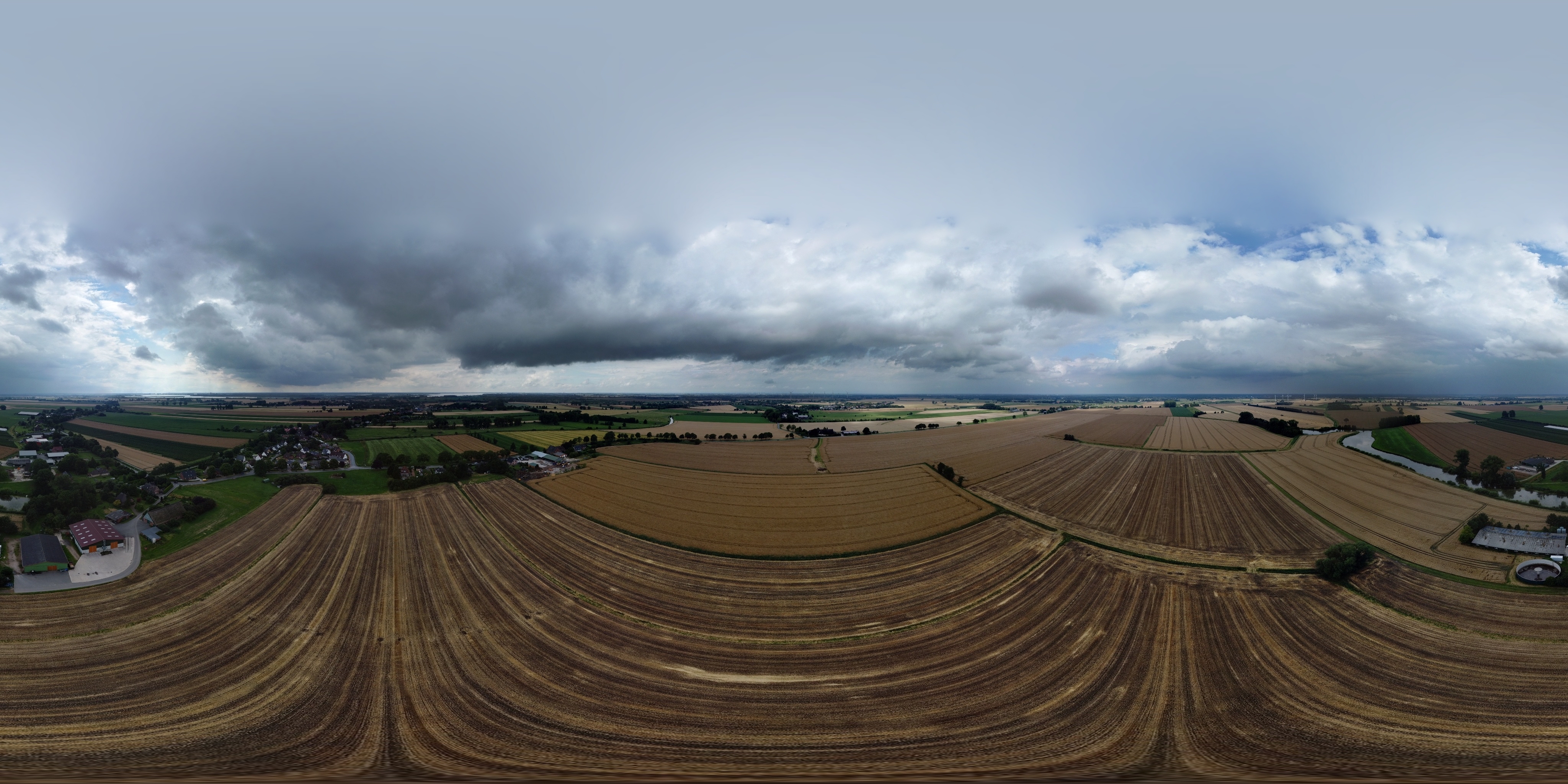
| 16:56, 2 August 2023 | 2023-08-01 53 9 - 05 Pano at hashpoint.JPG (file) | 29.25 MB | File uploaded with MsUpload | 1 | |
| 16:56, 2 August 2023 | 2023-08-01 53 9 - 06 Drone downwards.JPG (file) |  |
4.28 MB | File uploaded with MsUpload | 1 |
| 16:56, 2 August 2023 | 2023-08-01 53 9 - 07 Drone low.JPG (file) |  |
4 MB | File uploaded with MsUpload | 1 |
| 16:56, 2 August 2023 | 2023-08-01 53 9 - 08 Drone pano north.JPG (file) | 4.89 MB | File uploaded with MsUpload | 1 | |
| 16:57, 2 August 2023 | 2023-08-01 53 9 - 09 Drone wide angle north.JPG (file) |  |
8.62 MB | File uploaded with MsUpload | 1 |
| 16:57, 2 August 2023 | 2023-08-01 53 9 - 10 Drone pano south.JPG (file) | 4.58 MB | File uploaded with MsUpload | 1 | |
| 16:57, 2 August 2023 | 2023-08-01 53 9 - 11 Drone wide angle south.JPG (file) |  |
8.49 MB | File uploaded with MsUpload | 1 |
| 16:57, 2 August 2023 | 2023-08-01 53 9 - 12 Drone 360 °.JPG (file) |  |
5.52 MB | File uploaded with MsUpload | 1 |
| 16:57, 2 August 2023 | 2023-08-01 53 9 - 13 Rain in distance.JPG (file) |  |
4.77 MB | File uploaded with MsUpload | 1 |
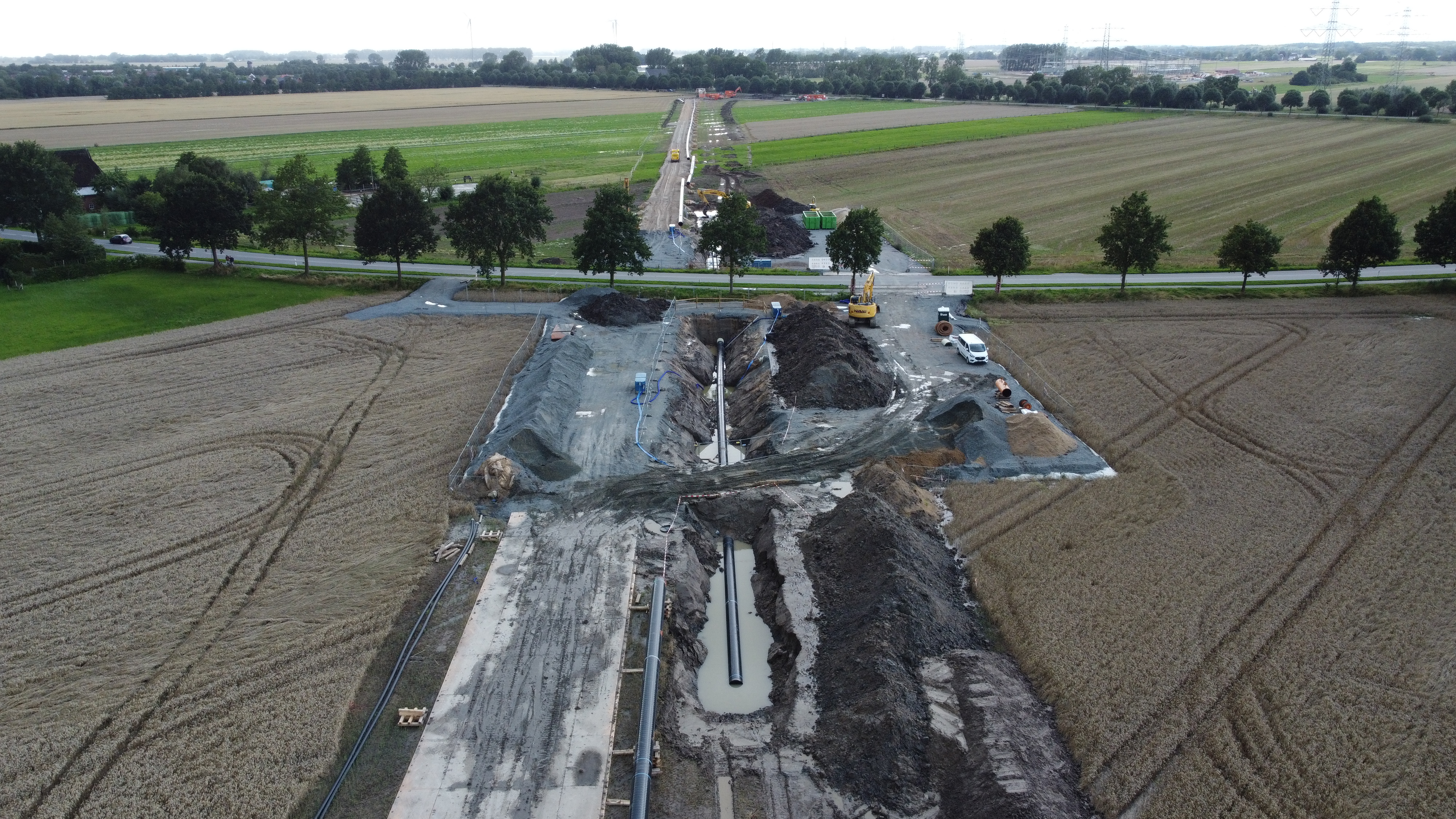
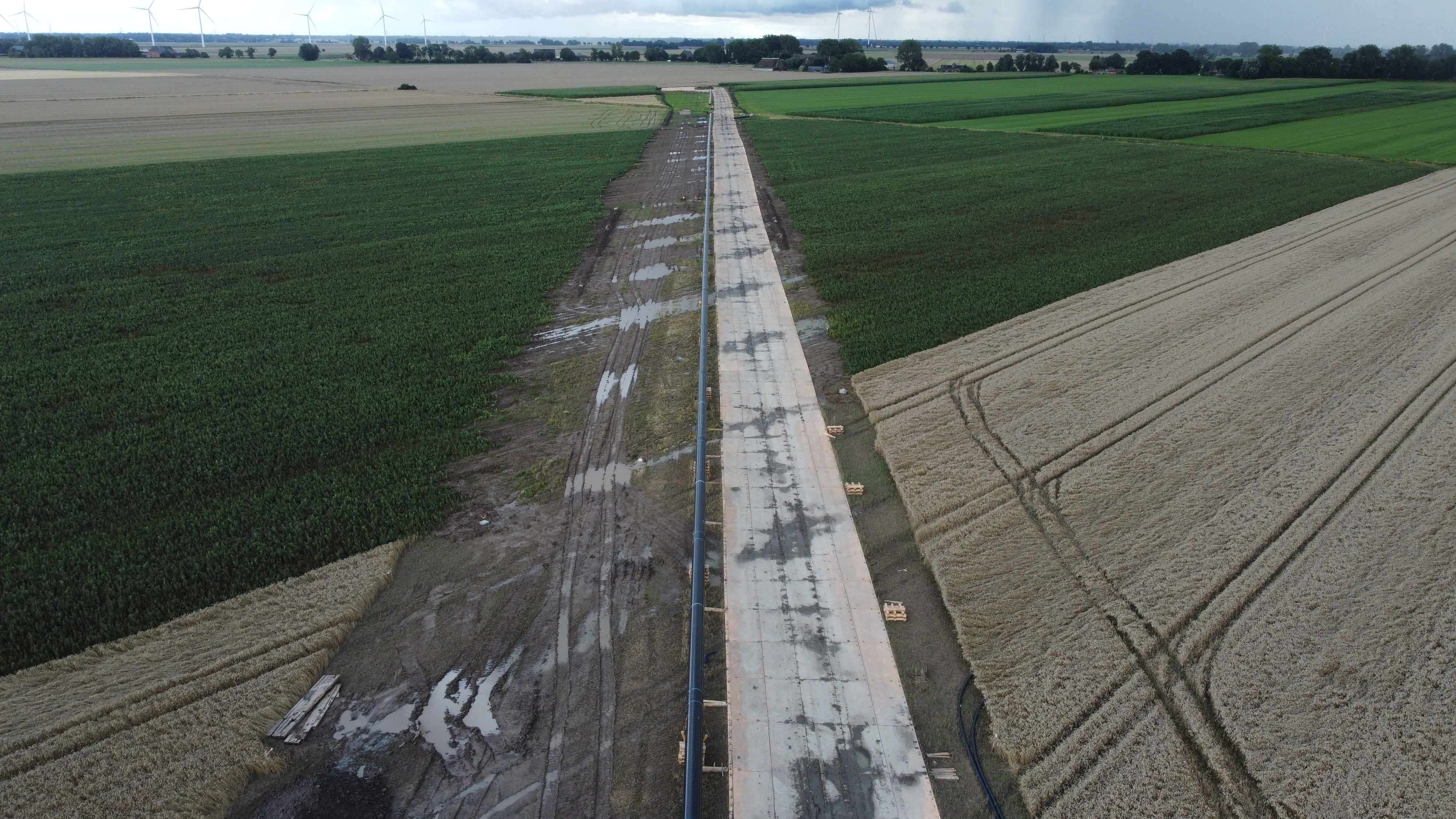
| 16:57, 2 August 2023 | 2023-08-01 53 9 - 14 Pipeline 1.JPG (file) |  |
3.95 MB | File uploaded with MsUpload | 1 |
| 16:57, 2 August 2023 | 2023-08-01 53 9 - 15 Pipeline 2.JPG (file) |  |
3.91 MB | File uploaded with MsUpload | 1 |
| 17:13, 2 August 2023 | 2023-08-01 53 9 - 04 Feet at hashpoint.JPG (file) |  |
5.22 MB | Rotated | 2 |
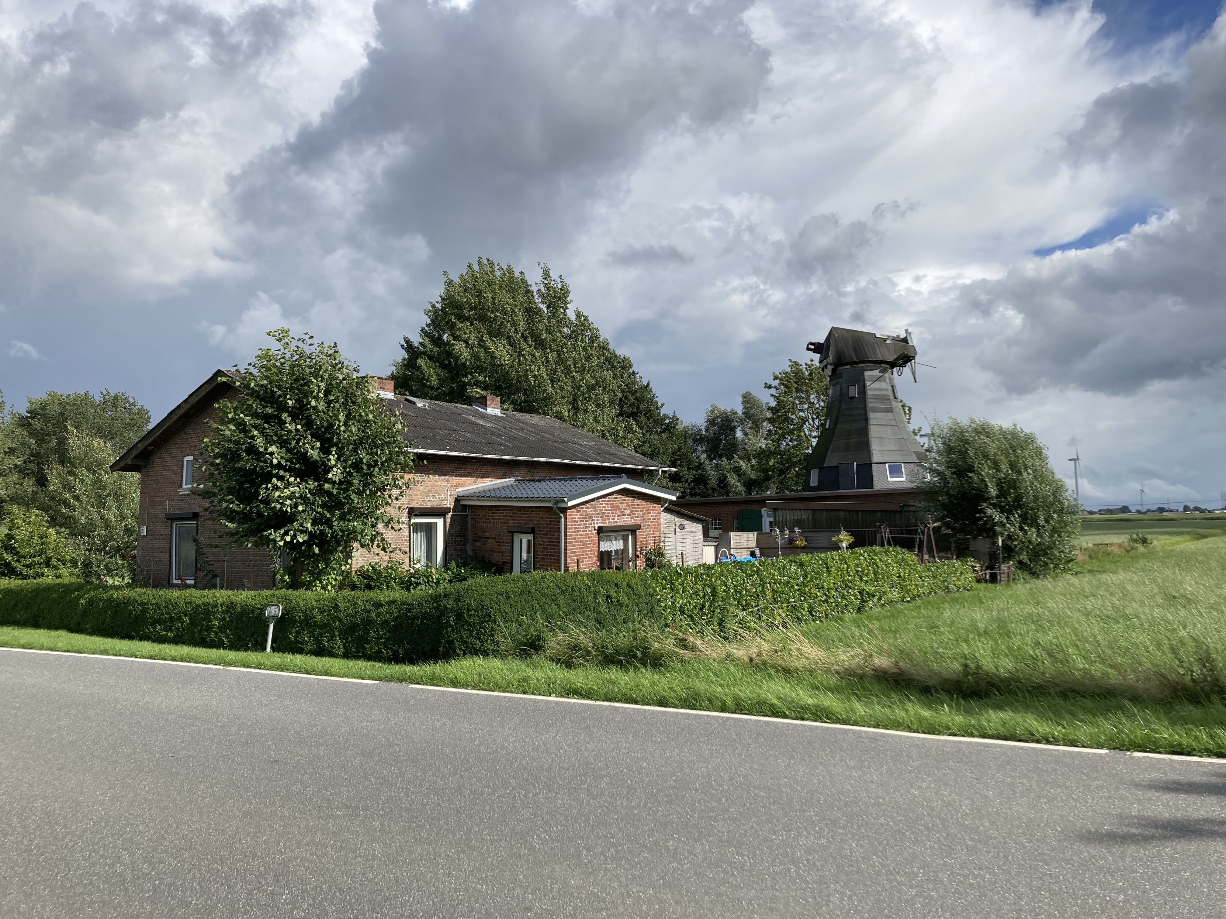
| 20:32, 2 August 2023 | 2005-05-26 53 9 - 01 On way - Old mill.JPG (file) |  |
5 MB | File uploaded with MsUpload | 1 |
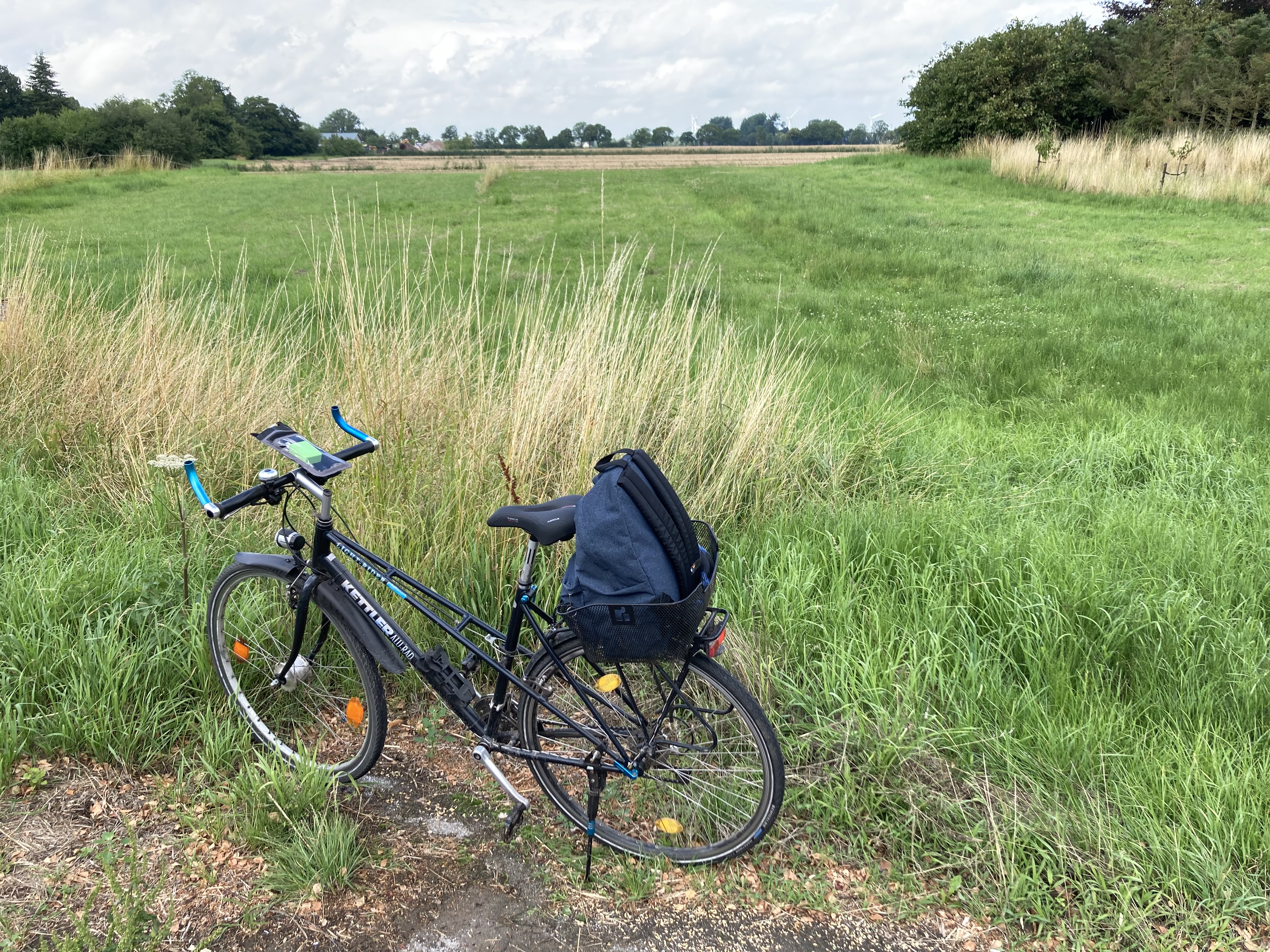
| 20:32, 2 August 2023 | 2005-05-26 53 9 - 02 On way - Bike parking spot.JPG (file) | 31.96 MB | File uploaded with MsUpload | 1 |