Difference between revisions of "2008-11-09 47 11"
From Geohashing
imported>Umeier (→Pictures) |
imported>Umeier (→Pictures) |
||
| Line 16: | Line 16: | ||
== Pictures == | == Pictures == | ||
<gallery widths="160px" align=center> | <gallery widths="160px" align=center> | ||
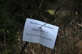
| − | Image:2008_11_09_47_11_the_hash_itself.jpg | + | Image:2008_11_09_47_11_the_hash_itself.jpg|the hash |
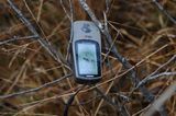
| − | Image:2008_11_09_47_11_gps.jpg | + | Image:2008_11_09_47_11_gps.jpg|the coordinates (more or less) |
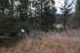
| − | Image: | + | Image:2008_11_09_47_11_around_the_hash.jpg|around the hash |
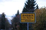
| − | Image: | + | Image:2008_11_09_47_11_ambach.jpg|Ambach |
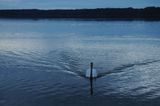
| − | Image:2008_11_09_47_11_lake_starnberg_and_swan.jpg | + | Image:2008_11_09_47_11_lake_starnberg_and_swan.jpg|Swan on Lake Starnberg |
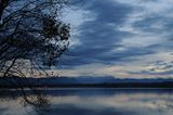
| − | Image:2008_11_09_47_11_lake_starnberg_and_zugspitze.jpg | + | Image:2008_11_09_47_11_lake_starnberg_and_zugspitze.jpg|Lake Starnberg with Zugspitze |
</gallery> | </gallery> | ||
Revision as of 21:08, 9 November 2008
| Sun 9 Nov 2008 in Innsbruck, Austria: 47.8585709, 11.3474033 geohashing.info google osm bing/os kml crox |
About
Inside the Forest near Ambach at Lake Starnberg in Upper Bavaria. I went to Ambach by car and then the last ~600 m by foot. I took some pictures from the hash and then went to the Lake Starnberg.
