Difference between revisions of "2010-03-20 -37 145"
From Geohashing
imported>Kozz |
imported>Kozz (→Photos) |
||
| Line 29: | Line 29: | ||
== Photos == | == Photos == | ||
| − | |||
| − | |||
| − | |||
<gallery perrow="4"> | <gallery perrow="4"> | ||
| + | Image:2010-03-20-0749.JPG | Driving through burnt forests | ||
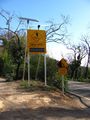
| + | Image:2010-03-20-0756.JPG | Bushfire recovery warning signs | ||
| + | Image:2010-03-20-0804.JPG | The trail in | ||
| + | Image:2010-03-20-0760.JPG | 1.3km down this track | ||
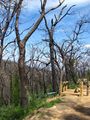
| + | Image:2010-03-20-0761.JPG | Bushfire scars | ||
| + | Image:2010-03-20-0762.JPG | Grass tree | ||
| + | Image:2010-03-20-0763.JPG | Kozz's dog is awesome | ||
| + | Image:2010-03-20-0764.JPG | Regrowth closeup | ||
| + | Image:2010-03-20-0768.JPG | Steep drop-off | ||
| + | Image:2010-03-20-0769.JPG | Beautiful regrowth | ||
| + | Image:2010-03-20-0771.JPG | 190m to go | ||
| + | Image:2010-03-20-0772.JPG | Much steeper | ||
| + | Image:2010-03-20-0776.JPG | Within the circle but on the path | ||
| + | Image:2010-03-20-0777.JPG | Hashpoint thataway | ||
| + | Image:2010-03-20-0781.JPG | Very close | ||
| + | Image:2010-03-20-0785.JPG | On the spot | ||
| + | Image:2010-03-20-0791.JPG | The hashpoint | ||
| + | Image:2010-03-20-0795.JPG | Marker goodness | ||
| + | Image:2010-03-20-0796.JPG | Molten glass | ||
| + | Image:2010-03-20-0797.JPG | Hills | ||
| + | Image:2010-03-20-0798.JPG | Pretty flowers | ||
| + | Image:2010-03-20-0799.JPG | Anthill - thanks Ekorren! | ||
| + | Image:2010-03-20-0800.JPG | Warnings on the road out | ||
| + | Image:2010-03-20-0805.JPG | Hashpoint is on public territory | ||
| + | Image:2010-03-20-0806.JPG | Raptor wounds | ||
| + | 2010-03-20-Hashpoint-pano.JPG | Hashpoint pano | ||
| + | 2010-03-20-pano.JPG | Burnt trees pano | ||
| + | |||
</gallery> | </gallery> | ||
Revision as of 08:55, 20 March 2010
| Sat 20 Mar 2010 in -37,145: -37.5666126, 145.3418089 geohashing.info google osm bing/os kml crox |
Location
20m or so off the gravel Old Kinglake Road
Participants
Plans
Heading out around 3pm - will arrive round 4pm hopefully.
Expedition
Tracklog
Photos
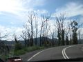
Driving through burnt forests
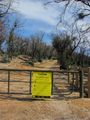
Bushfire recovery warning signs
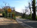
The trail in
1.3km down this track
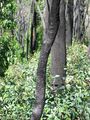
Bushfire scars
Grass tree
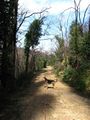
Kozz's dog is awesome
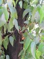
Regrowth closeup

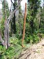
Steep drop-off
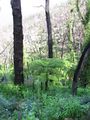
Beautiful regrowth
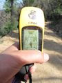
190m to go
Much steeper
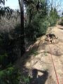
Within the circle but on the path
Hashpoint thataway
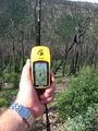
Very close
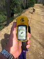
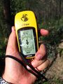
On the spot
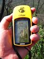
The hashpoint
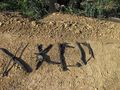
Marker goodness
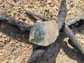
Molten glass
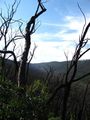
Hills
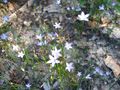
Pretty flowers
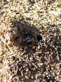
Anthill - thanks Ekorren!
Warnings on the road out
Hashpoint is on public territory
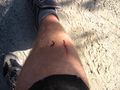
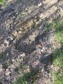
Raptor wounds
- 2010-03-20-Hashpoint-pano.JPG
Hashpoint pano
- 2010-03-20-pano.JPG
Burnt trees pano


