Difference between revisions of "User:Kydlt"
From Geohashing
imported>Kydlt |
imported>Kydlt |
||
| Line 8: | Line 8: | ||
dennislee | dennislee | ||
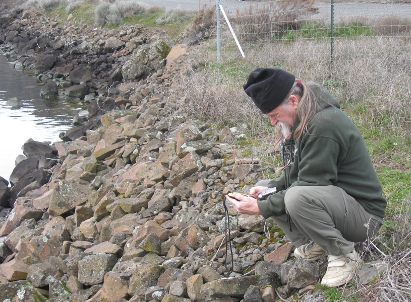
[[file:2011-03-02 01real close.jpg]] | [[file:2011-03-02 01real close.jpg]] | ||
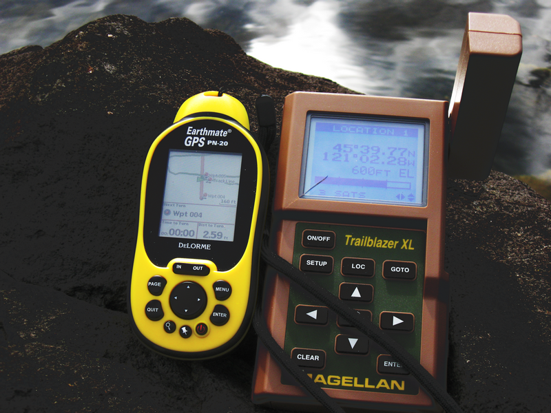
| + | [[file:2011-03-02 03old Magellen location.png]] | ||
| + | [[file:2011-03-02 06on the exact spot.jpg]] | ||
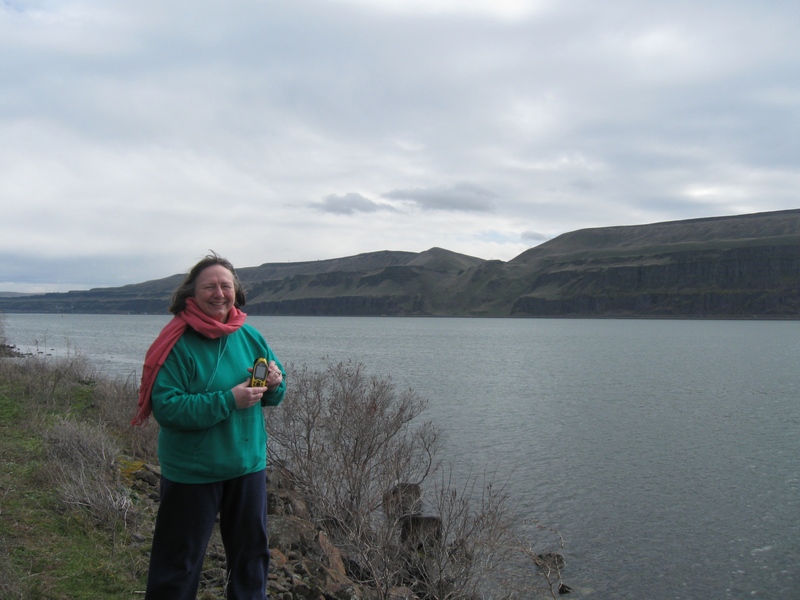
| + | [[file:2011-03-02 07kate at river 2.jpg]] | ||
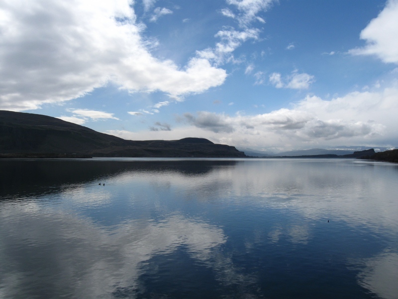
| + | [[file:2011-03-02 08looking downriver.jpg]] | ||
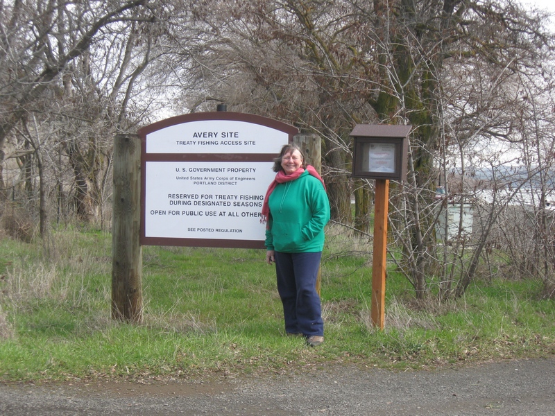
| + | [[file:2011-03-02 09Kate at Avery Park.jpg]] | ||
Revision as of 01:11, 3 March 2011
Hello,
I am a newb at geohashing, but have been using GPS since the mid 90's (Magellen Trailmate, pre XL).
I also new to the Columbia Gorge area having lived in Humboldt the last 28 years. So I have an entire new wilderness to explore and what a better way to deside where to go. And with grandchildren in Portland I often find myself down there. Right now finding my way around this interface is more challenging than being lost in the woods.
See you there.
