Difference between revisions of "User:Kydlt"
imported>Kydlt |
imported>Kydlt |
||
| Line 9: | Line 9: | ||
'''2010-12-29''' | '''2010-12-29''' | ||
| − | My | + | |
| + | My first geohash today. I was coming home to Stevenson, WA from Humboldt in NoCal and stopped outside Salem OR, in the bottom corner of the Portland graticule at 45.029225°, -122.973691. 1/2 way from the equator to the pole. When leaving my hotel this morning in Grants Pass I checked for spots along the way. This one was right off I-5. So a quick exit and a short walk on a muddy field, & there I was. Now all I have to do is learn how to post this info. There are some photos somewhere. | ||
Revision as of 17:41, 12 March 2011
Hello,
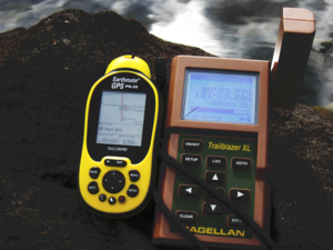
I am a newb at geohashing, but have been using GPS since the mid 90's (Magellen Trailmate, pre XL).
Also I am new to the Columbia Gorge area, having lived in Humboldt the last 28 years.  So I have an
entire new wilderness to explore and what a better way to decide where to go.  And with grandchildren
in Portland I often find myself down there. Right now finding my way around this interface is more
challenging than being lost in the woods.
 See you there.
dennislee
2010-12-29
My first geohash today. I was coming home to Stevenson, WA from Humboldt in NoCal and stopped outside Salem OR, in the bottom corner of the Portland graticule at 45.029225°, -122.973691. 1/2 way from the equator to the pole. When leaving my hotel this morning in Grants Pass I checked for spots along the way. This one was right off I-5. So a quick exit and a short walk on a muddy field, & there I was. Now all I have to do is learn how to post this info. There are some photos somewhere.
2011-03-02
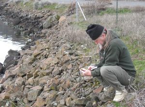
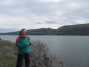
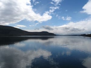
These pictures are of a hash achieved on March 2, 2011. Due to my lack of skill in posting they have shown up here. It was at 45°39.7231', -121°2.2802 but that was just south of where I am, ie out in the river. I need to learn how to group photos so they don't go down in a row.
2011-03-09 Good drizzley morning. I found my self in Hermiston this morning so I think I will go on a little trip down to 45.596227°, -119.537443°.
9 Mar MADE IT OK a pretty easy one to get to. Except for going up to a farm house to ask permission, and try to explain what the hell I was doing. I am terrified of that kind of thing. It seems to be a virgin graticle. After lunch I face more hard work : Wiki posting self-lessons. YeeeeHah. There is a expedition page for this trip, with photos, that Jim put up. I am still working on the posting thing. I am sure that it isn't as hard as I am making it.
