Difference between revisions of "2012-06-22 40 -86"
From Geohashing
imported>Piddiffle |
imported>FippeBot m (Location) |
||
| (One intermediate revision by one other user not shown) | |||
| Line 37: | Line 37: | ||
{{land geohash | {{land geohash | ||
| − | | latitude = 40 | + | | latitude = 40 |
| − | | longitude = -86 | + | | longitude = -86 |
| date = 2012-06-22 | | date = 2012-06-22 | ||
| name = ilinamorato and Piddiffle | | name = ilinamorato and Piddiffle | ||
| Line 44: | Line 44: | ||
}} | }} | ||
| − | |||
| − | |||
| − | |||
| − | |||
| − | |||
| − | |||
| − | |||
| − | |||
| − | |||
| − | |||
| − | |||
[[Category:Expeditions]] | [[Category:Expeditions]] | ||
| − | |||
[[Category:Expeditions with photos]] | [[Category:Expeditions with photos]] | ||
| − | |||
| − | |||
| − | |||
| − | |||
| − | |||
| − | |||
| − | |||
| − | |||
| − | |||
[[Category:Coordinates not reached]] | [[Category:Coordinates not reached]] | ||
| − | + | [[Category:Not reached - No public access]] | |
| − | + | {{location|US|IN|HM}} | |
| − | [[Category:Not reached - No public access]] | ||
| − | |||
| − | |||
| − | |||
Latest revision as of 04:55, 6 August 2019
| Fri 22 Jun 2012 in 40,-86: 40.0454491, -86.1228558 geohashing.info google osm bing/os kml crox |
Location
Private home in Westfield, Indiana.
Participants
Ilinamorato and wife Piddiffle
Plans
Expedition
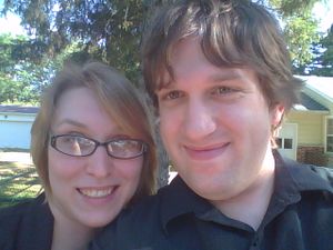
I love the idea of geohashing, and decided on a whim to visit this one the same day I discovered it. We live in Indianapolis, but the hash for that graticule on that day was very far away. Since we were going to be in Westfield anyway, we decided to try our luck with that hash. Starting in Indianapolis, we were excited as we got closer to our first ever geohash! We came around the corner - 200ft! 100ft! 83ft! --before we discovered that the location was in someone's private residence. Sad times. We parked in front, shot a picture as proof that we'd made it, and went to dinner at Big Hoffa's Barbecue.
Tracklog
Photos
Achievements
ilinamorato and Piddiffle earned the Land geohash achievement
|
