Difference between revisions of "Medford, Oregon"
From Geohashing
imported>Michael5000 (→Expedition History: First Successful Expedition!) |
imported>Michael5000 (Add Photo) |
||
| Line 13: | Line 13: | ||
}} | }} | ||
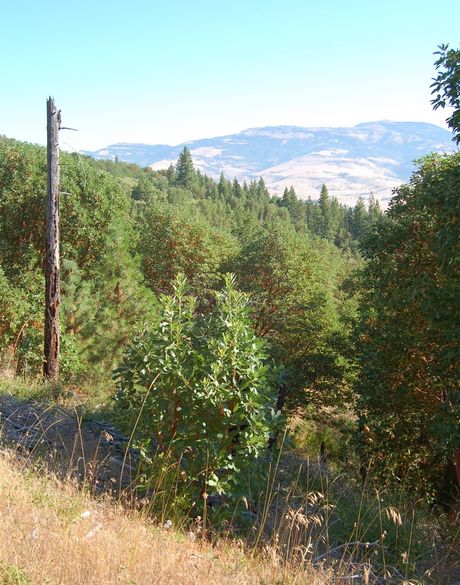
| − | [ | + | [[File:2010-08-16 42 -122 View.jpg|460px|Typical scenery in the Medford area, from the [[2010-08-16 42 -122|2010-08-16]] hashpoint.]] |
| + | |||
==Active Users== | ==Active Users== | ||
Revision as of 01:59, 17 August 2010
| Roseburg | Oakridge | La Pine |
| Grants Pass | Medford | Klamath Falls |
| Happy Camp, California | Yreka, California | Tulelake, California |
|
Today's location: geohashing.info google osm bing/os kml crox | ||
Active Users
- User:Partdavid maybe. I'm usually looking for easy hikes on Saturdays. Sundays are a possibility for harder locations. The Grants Pass and Yreka graticules are also possible.
- Geocacher maybe. :)
Notable Features
Expedition History
2010-08-16 42 -122 -- Michael5000 and Mrs.5000, grabbing a second chance when it appears, reach a hashpoint south of Ashland!
2010-08-14 42 -122 -- Michael5000 and Mrs.5000 fail to even get close to a hashpoint south of Ashland.
Very Old Content
- Saturday, 14 June, 2008
- I'm not going this day, either, have family in town. Partdavid 20:07, 6 June 2008 (UTC)
- Saturday, 7 June, 2008 - 42.501784°, -122.114371°
- Not going. It's way over by Klamath Lake and unfortunately my weekend plans are not going to allow a visit. Looks mighty gettable for someone, though, partway up Pelican Butte in National Forest land. Partdavid 20:07, 6 June 2008 (UTC)
