Difference between revisions of "2012-09-13 55 37"
From Geohashing
imported>Vb (→Expedition) |
imported>Vb (→Photos) |
||
| Line 44: | Line 44: | ||
Image:2012-09-13_55_37_16-28-16-261.jpg | Squirrel, 500m to the hash [http://www.openstreetmap.org/?lat=55.78678011&lon=37.82910256&zoom=16&layers=B000FTF @55.7868,37.8291] | Image:2012-09-13_55_37_16-28-16-261.jpg | Squirrel, 500m to the hash [http://www.openstreetmap.org/?lat=55.78678011&lon=37.82910256&zoom=16&layers=B000FTF @55.7868,37.8291] | ||
| − | Image:2012-09-13_55_37_17-10-04-163.jpg | 20 meters to the hash [http://www.openstreetmap.org/?lat=55.78829850&lon=37.82037190&zoom=16&layers=B000FTF @55.7883,37.8204] | + | Image:2012-09-13_55_37_17-10-04-163.jpg | 20 meters to the hash, W [http://www.openstreetmap.org/?lat=55.78829850&lon=37.82037190&zoom=16&layers=B000FTF @55.7883,37.8204] |
| + | |||
| + | Image:2012-09-13_55_37_16.35.38.jpg | 20 meters to the hash, D [http://www.openstreetmap.org/?lat=55.78829850&lon=37.82037190&zoom=16&layers=B000FTF @55.7883,37.8204] | ||
| + | |||
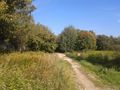
| + | Image:2012-09-13_55_37_16.35.25.jpg | 20 meters to the hash, S [http://www.openstreetmap.org/?lat=55.78829850&lon=37.82037190&zoom=16&layers=B000FTF @55.7883,37.8204] | ||
| + | |||
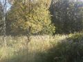
| + | Image:2012-09-13_55_37_16.35.19.jpg | 20 meters to the hash, A [http://www.openstreetmap.org/?lat=55.78829850&lon=37.82037190&zoom=16&layers=B000FTF @55.7883,37.8204] | ||
| + | |||
| + | Image:2012-09-13_55_37_16.35.32.jpg | 20 meters to the hash, the sky [http://www.openstreetmap.org/?lat=55.78829850&lon=37.82037190&zoom=16&layers=B000FTF @55.7883,37.8204] | ||
</gallery> | </gallery> | ||
Revision as of 07:55, 14 September 2012
| Thu 13 Sep 2012 in 55,37: 55.7879598, 37.8352983 geohashing.info google osm bing/os kml crox |
Location
The border between Izmaylovsky Park and something else.
Participants
Plans
Expedition
The hash turned out to be about 10m into the not Izmaylovslky Park territory. The wall between seemed to be possible to trespass but had no time to try.
Tracklog
Photos
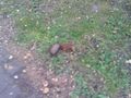
Squirrel, 500m to the hash @55.7868,37.8291
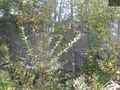
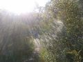
20 meters to the hash, W @55.7883,37.8204
20 meters to the hash, D @55.7883,37.8204
20 meters to the hash, S @55.7883,37.8204
20 meters to the hash, A @55.7883,37.8204
20 meters to the hash, the sky @55.7883,37.8204


Achievements