Difference between revisions of "2015-04-28 56 10"
imported>Blueberry |
imported>Blueberry (→Expedition) |
||
| Line 15: | Line 15: | ||
== Expedition == | == Expedition == | ||
| − | {{#vardefine:gaWidth| | + | {{#vardefine:gaWidth|320}} |
| − | {{#vardefine:gaHeight| | + | {{#vardefine:gaHeight|240}} |
{{#vardefine:gaLines|1}} | {{#vardefine:gaLines|1}} | ||
| Line 63: | Line 63: | ||
{{GalleryItem | Image:2015-04-28 56 10 Blueberry 9.JPG|... if you like light green, of course}} | {{GalleryItem | Image:2015-04-28 56 10 Blueberry 9.JPG|... if you like light green, of course}} | ||
}} | }} | ||
| − | |||
== Achievements == | == Achievements == | ||
Revision as of 22:39, 28 April 2015
| Tue 28 Apr 2015 in 56,10: 56.1171371, 10.1426646 geohashing.info google osm bing/os kml crox |
Location
In Viby, a suburb of Aarhus, Denmark.
Participants
Expedition
After a few failed attempts (hashes inside buildings with nobody at home), I finally managed to reach a hash in the virgin graticule of Aarhus, Denmark, where I live. Just a 9km bike ride from my workplace. And what a beautiful day for it, with spring at full force!
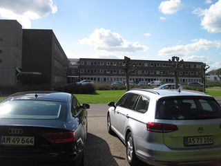
The hash was right next to a parking lot by some office building:
|
A guy saw me checking my phone in a finding-my-way sort of way and asked if he could help with anything. I asked him if he had ever heard of Geohashing. As I suspected, he mistakenly thought he had, prompting a "No, hashing - not caching" response, plus an explanation.
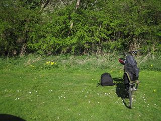
My GPS fluctuated some, but judging from the Google imagery, the hash was located right behind these trees:
|
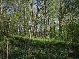
Trudging carefully into the undergrowth, I reached the hash...
|
...and looked around...
|
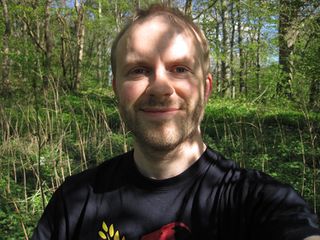
...and into the camera:
|
I waited until around 5, but no other geohashers turned up. So I decided to continue on my adventure...
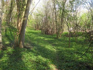
Close to the hash was a nice little forest path:
|
Achievements
Blueberry earned the Land geohash achievement
|
Blueberry earned the Bicycle geohash achievement
|
