Difference between revisions of "File:2011-09-11 48 11 18-53-35-269.jpg"
From Geohashing
imported>Gefrierbrand (End of the road [http://www.openstreetmap.org/?lat=48.30776151269674&lon=11.922350255772471&zoom=16&layers=B000FTF @48,3078,11,9224] Category:Meetup on 2011-09-11 Category:Meetup in 48 11) |
(Maintenance script uploaded File:2011-09-11 48 11 18-53-35-269.jpg) |
||
| (One intermediate revision by one other user not shown) | |||
| Line 1: | Line 1: | ||
End of the road [http://www.openstreetmap.org/?lat=48.30776151269674&lon=11.922350255772471&zoom=16&layers=B000FTF @48,3078,11,9224] | End of the road [http://www.openstreetmap.org/?lat=48.30776151269674&lon=11.922350255772471&zoom=16&layers=B000FTF @48,3078,11,9224] | ||
| + | Distance is wrong, I was only testing the Geohashdroid uploading feature. | ||
| + | real Distance approx. 200meters | ||
[[Category:Meetup on 2011-09-11]] | [[Category:Meetup on 2011-09-11]] | ||
[[Category:Meetup in 48 11]] | [[Category:Meetup in 48 11]] | ||
Latest revision as of 14:29, 30 January 2020
End of the road @48,3078,11,9224
Distance is wrong, I was only testing the Geohashdroid uploading feature. real Distance approx. 200meters
File history
Click on a date/time to view the file as it appeared at that time.
| Date/Time | Thumbnail | Dimensions | User | Comment | |
|---|---|---|---|---|---|
| current | 14:29, 30 January 2020 | 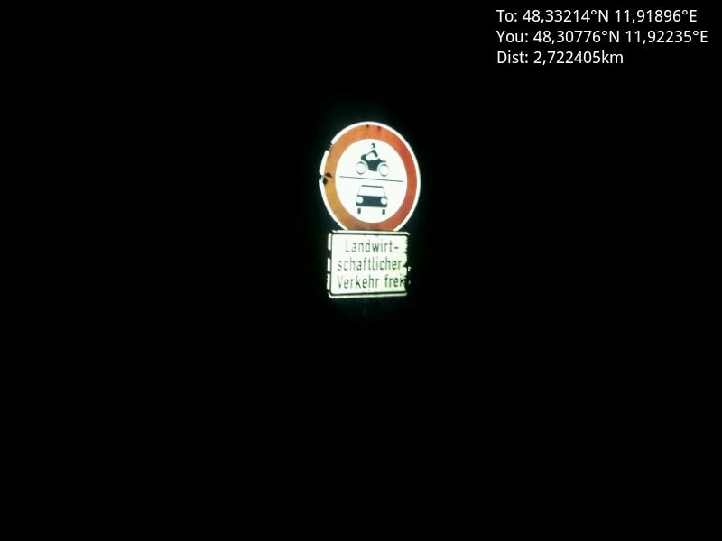 | 800 × 600 (18 KB) | Maintenance script (talk | contribs) |
- You cannot overwrite this file.
File usage
There are no pages that link to this file.