Difference between revisions of "File:Australian Graticules.png"
From Geohashing
imported>Mattyk (A map of Australia, with all the graticule boundaries marked in.) |
(Maintenance script uploaded File:Australian Graticules.png) |
||
| (One intermediate revision by one other user not shown) | |||
| Line 1: | Line 1: | ||
| − | A map of Australia, with all the graticule boundaries marked in. | + | A map of Australia, with all the graticule boundaries marked in.[[Category:Maps]] |
Latest revision as of 14:57, 30 January 2020
A map of Australia, with all the graticule boundaries marked in.
File history
Click on a date/time to view the file as it appeared at that time.
| Date/Time | Thumbnail | Dimensions | User | Comment | |
|---|---|---|---|---|---|
| current | 14:57, 30 January 2020 | 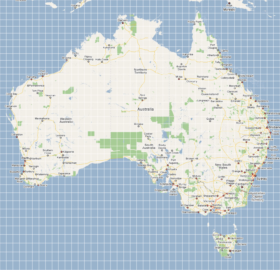 | 978 × 943 (358 KB) | Maintenance script (talk | contribs) |
- You cannot overwrite this file.
File usage
There are no pages that link to this file.