Difference between revisions of "2008-06-05 42 -71"
From Geohashing
imported>Ben |
imported>Ben |
||
| Line 7: | Line 7: | ||
==The Geohash== | ==The Geohash== | ||
| − | At roughly 3PM, [[User:Ben|Ben]] and Grace approached the site by car. | + | At roughly 3PM, [[User:Ben|Ben]] and Grace approached the site by car. Disregarding the light mist, we parked nearby and proceeded on foot. |
| − | <gallery caption=" | + | <gallery caption="Sneaking About" widths="200px" heights="200px" perrow="3"> |
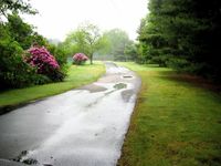
Image:2008-06-05-42-71-01.jpg|The driveway from which the hash was accessible. | Image:2008-06-05-42-71-01.jpg|The driveway from which the hash was accessible. | ||
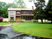
| + | Image:2008-06-05-42-71-02.jpg|The rather impressive house associated with the hash location. We knocked on the door to ask for permission to poke about, but nobody was home. | ||
| + | Image:2008-06-05-42-71-03.jpg|We decided to take a quick look around anyway. Soon enough, we reached the hash. This is the satellite photo of the hash, at the hash; stunning resemblance, no? | ||
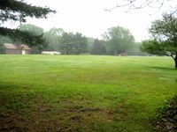
| + | Image:2008-06-05-42-71-04.jpg|The large field (lawn?) we crossed to reach the hash. | ||
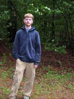
| + | Image:2008-06-05-42-71-05.jpg|Ben at the hash. | ||
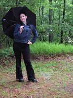
| + | Image:2008-06-05-42-71-06.jpg|Grace at the hash. | ||
| + | Image:2008-06-05-42-71-07.jpg|There was also a pond nearby, presumably constructed by the local denizens. It looked more like a visual accoutrement than a place one would actually swim in. | ||
</gallery> | </gallery> | ||
==Post-Geohash Adventures== | ==Post-Geohash Adventures== | ||
Revision as of 02:15, 6 June 2008
The Location
The site is located very near to the border between Foxborough, MA and Sharon, MA. It is several hundred meters from nearby Mansfield Street. The site falls on private property; specifically, the yard associated with a large house set back from Mansfield Street. A state park, Borderland State Park, is located close by.
The Geohash
At roughly 3PM, Ben and Grace approached the site by car. Disregarding the light mist, we parked nearby and proceeded on foot.
- Sneaking About
