Difference between revisions of "File:2010-02-01 48 8 Map.jpg"
From Geohashing
imported>Ekorren (Meetup in 48 8 Meetup on 2010-02-01 Official topographic map by the State Land Survey Office: These few fields are named "Kuh" (cow)) |
(Maintenance script uploaded File:2010-02-01 48 8 Map.jpg) |
||
| (One intermediate revision by one other user not shown) | |||
| Line 1: | Line 1: | ||
| − | [[Meetup in 48 8]] | + | [[Category:Meetup in 48 8]] |
| − | [[Meetup on 2010-02-01]] | + | [[Category:Meetup on 2010-02-01]] |
Official topographic map by the State Land Survey Office: These few fields are named "Kuh" (cow) | Official topographic map by the State Land Survey Office: These few fields are named "Kuh" (cow) | ||
Latest revision as of 15:55, 30 January 2020
Official topographic map by the State Land Survey Office: These few fields are named "Kuh" (cow)
File history
Click on a date/time to view the file as it appeared at that time.
| Date/Time | Thumbnail | Dimensions | User | Comment | |
|---|---|---|---|---|---|
| current | 15:55, 30 January 2020 | 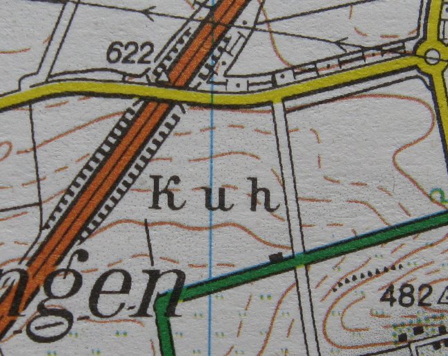 | 646 × 514 (107 KB) | Maintenance script (talk | contribs) |
- You cannot overwrite this file.
File usage
There are no pages that link to this file.