Difference between revisions of "2009-10-18 33 -84"
imported>NWoodruff (→Gallery) |
m |
||
| (4 intermediate revisions by 2 users not shown) | |||
| Line 20: | Line 20: | ||
=== [[User:NWoodruff|NWoodruff]] === | === [[User:NWoodruff|NWoodruff]] === | ||
| − | I drove out to his hash point and followed Google directions. the last turn on to the dirt road has a big fence in front of it. There are | + | I drove out to his hash point and followed Google directions. the last turn on to the dirt road has a big gated fence in front of it. There are many signs posted for no trespassing. I hopped out and took a few pictures. 0.30 of a mile is as close as I could get. |
| + | I drove down the road for a little bit because I saw on the map that there is another dirt road that leads to the hash spot. I found the road and started to drive down it. I came up on another "Authorized vehicles" sign. I kept driving. I then came up on the big gate fence. The gate was open. But, with the number of "No Trespassing" signs that were posted on it, I decided that I was not going to get to the hash point. I hopped out and took a few picture. | ||
| + | |||
| + | I then called it a day and drove back to Norcross. | ||
== Gallery == | == Gallery == | ||
| Line 46: | Line 49: | ||
[[Category:Expeditions]] | [[Category:Expeditions]] | ||
[[Category:Coordinates not reached]] | [[Category:Coordinates not reached]] | ||
| + | [[Category:Not reached - No public access]] | ||
[[Category:Expeditions with photos]] | [[Category:Expeditions with photos]] | ||
| + | {{location|US|GA|CN}} | ||
Latest revision as of 09:29, 25 April 2022
| Sun 18 Oct 2009 in Atlanta: 33.4945374, -84.2894258 geohashing.info google osm bing/os kml crox |
Graticule
About
On a big open field on Clayton County public water property.
Expedition
NWoodruff
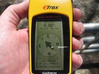
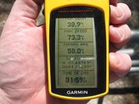
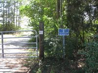
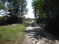
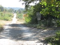
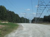
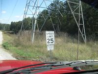
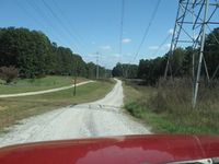
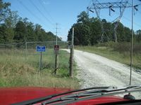
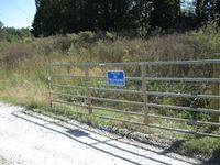
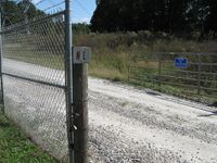
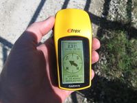
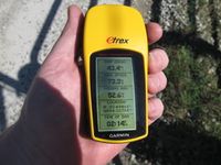
I drove out to his hash point and followed Google directions. the last turn on to the dirt road has a big gated fence in front of it. There are many signs posted for no trespassing. I hopped out and took a few pictures. 0.30 of a mile is as close as I could get.
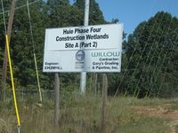
I drove down the road for a little bit because I saw on the map that there is another dirt road that leads to the hash spot. I found the road and started to drive down it. I came up on another "Authorized vehicles" sign. I kept driving. I then came up on the big gate fence. The gate was open. But, with the number of "No Trespassing" signs that were posted on it, I decided that I was not going to get to the hash point. I hopped out and took a few picture.
I then called it a day and drove back to Norcross.
Gallery
- Photo Gallery
