Difference between revisions of "2009-02-16 50 -117"
From Geohashing
imported>Juventas (fixing thumbs) |
m |
||
| (2 intermediate revisions by 2 users not shown) | |||
| Line 31: | Line 31: | ||
[[Category:Expeditions with photos]] | [[Category:Expeditions with photos]] | ||
[[Category:Coordinates not reached]] | [[Category:Coordinates not reached]] | ||
| + | [[Category:Not reached - No public access]] | ||
| + | {{location|CA|BC|CS}} | ||
Latest revision as of 19:44, 30 May 2022
| Mon 16 Feb 2009 in Nakusp, British Columbia: 50.6379620, -117.5620304 geohashing.info google osm bing/os kml crox |
Location
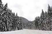
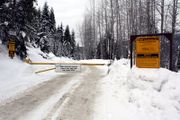
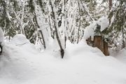
Outside of Trout Lake, near an active mining road.
Expeditions
