Difference between revisions of "Kyōto, Japan"
From Geohashing
imported>ReletBot m (Bot: Automated text replacement (-irc.peeron.com +carabiner.peeron.com)) |
m (per Renaming Proposal) |
||
| (10 intermediate revisions by 2 users not shown) | |||
| Line 1: | Line 1: | ||
| − | |||
| − | |||
| − | |||
{{graticule | {{graticule | ||
| lat= 35 | | lat= 35 | ||
| Line 15: | Line 12: | ||
| se = [[Tsu, Japan|Tsu]] | | se = [[Tsu, Japan|Tsu]] | ||
}} | }} | ||
| − | == | + | |
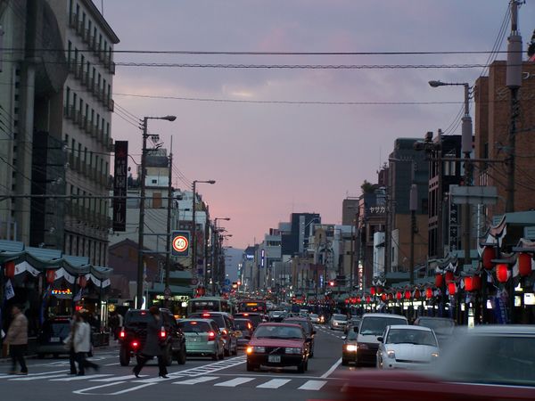
| − | + | [[Image:2008-12-28-shijo dori.JPG|600px]] | |
| + | |||
| + | == Expeditions == | ||
| + | * [[2012-06-04 35 135]] - [[User:TdL|TdL]] succeeds at the first documented geohash in this graticule. | ||
| + | |||
| + | == Graticule Ribbons == | ||
| + | {{Graticule unlocked | latitude = 35 | longitude = 135 | date = 2012-06-04 | name = TdL}} | ||
[[Category:Inactive graticules]] | [[Category:Inactive graticules]] | ||
[[Category:Japan]] | [[Category:Japan]] | ||
Latest revision as of 07:13, 20 March 2024
| Sea of Japan | Fukui | Kanazawa |
| Tottori | Kyōto | Nagoya |
| Takamatsu | Ōsaka | Tsu |
|
Today's location: geohashing.info google osm bing/os kml crox | ||
Expeditions
- 2012-06-04 35 135 - TdL succeeds at the first documented geohash in this graticule.
Graticule Ribbons
TdL earned the Graticule Unlocked Achievement
|
